7.3 miles of trails along Disharoon Creek
ONE OF THE OLDEST PARKS IN BIG CANOE
Main parking is on Wilderness Parkway, with additional parking at Yellow Root, Mountain Mint, Valley View, Deer Run Ridge and Laurel Ridge Trail.

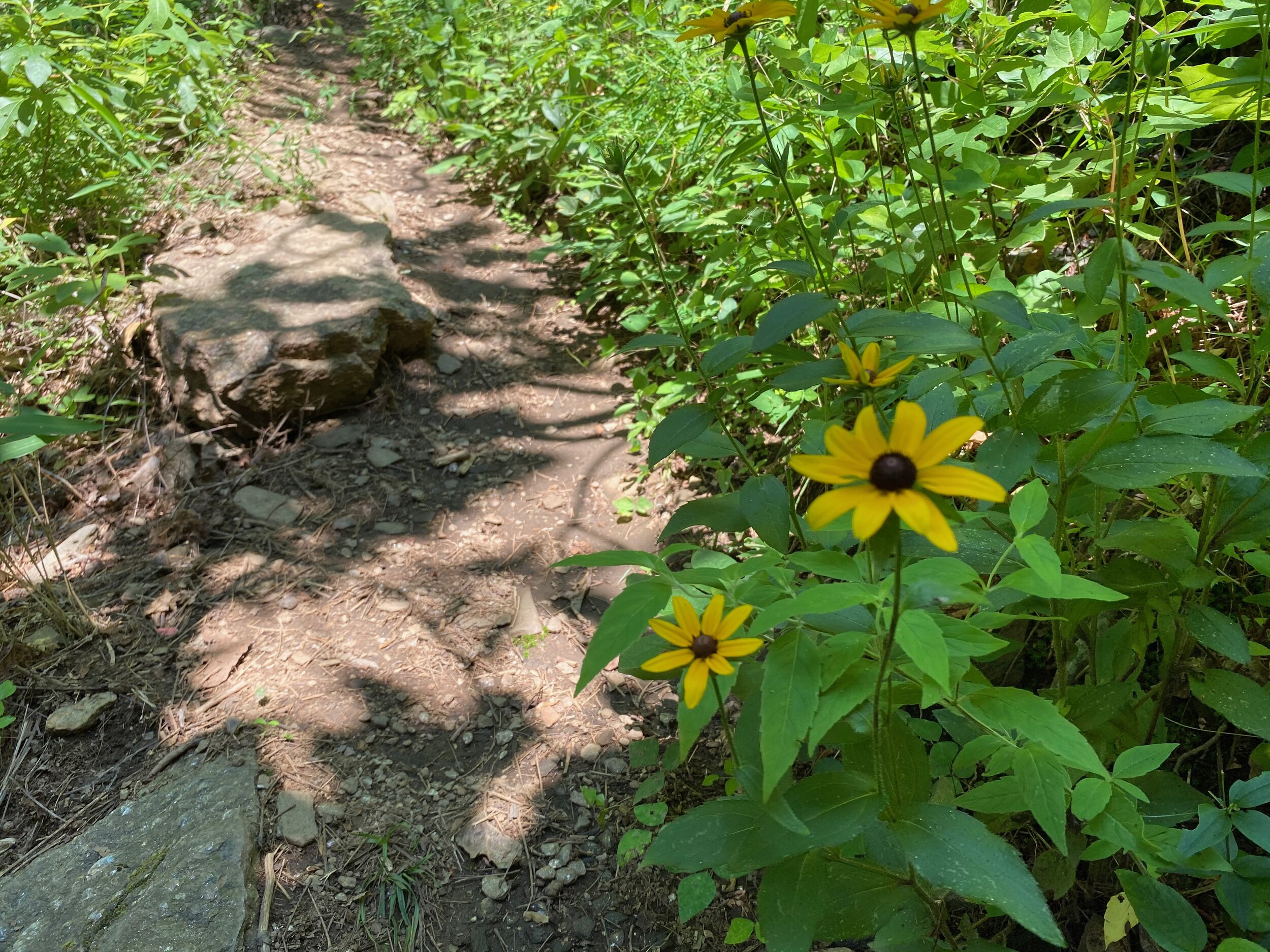
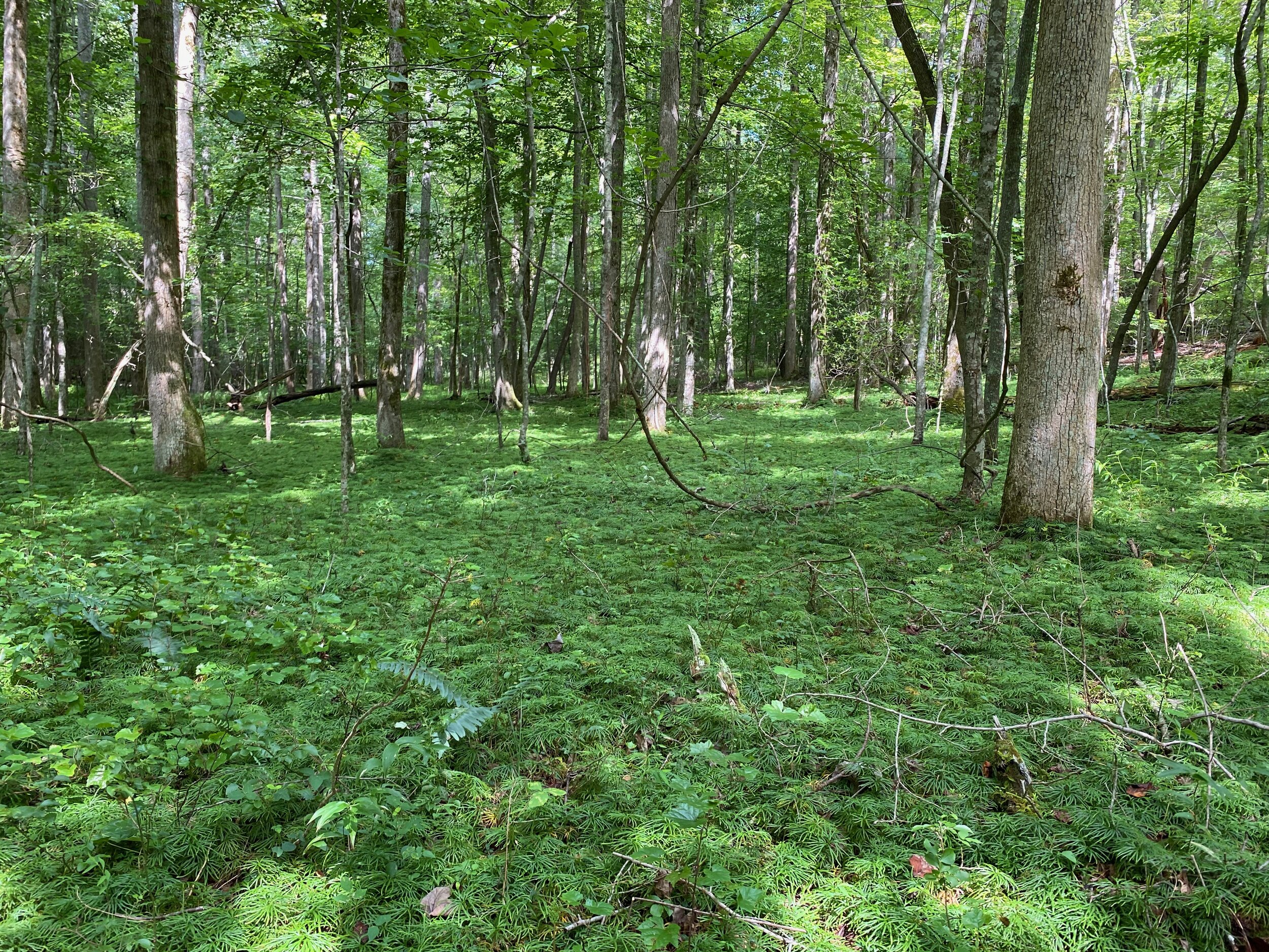
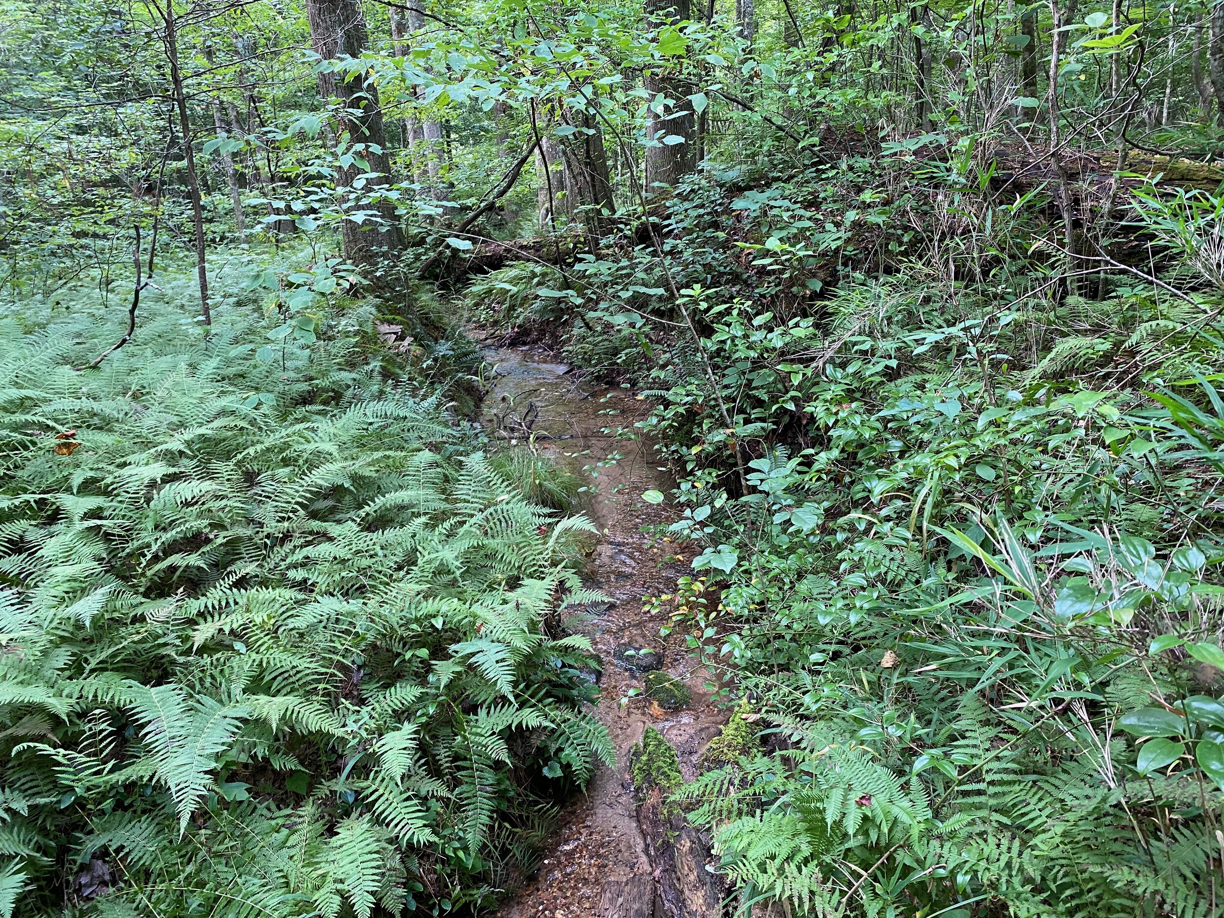
Wildflower Trail
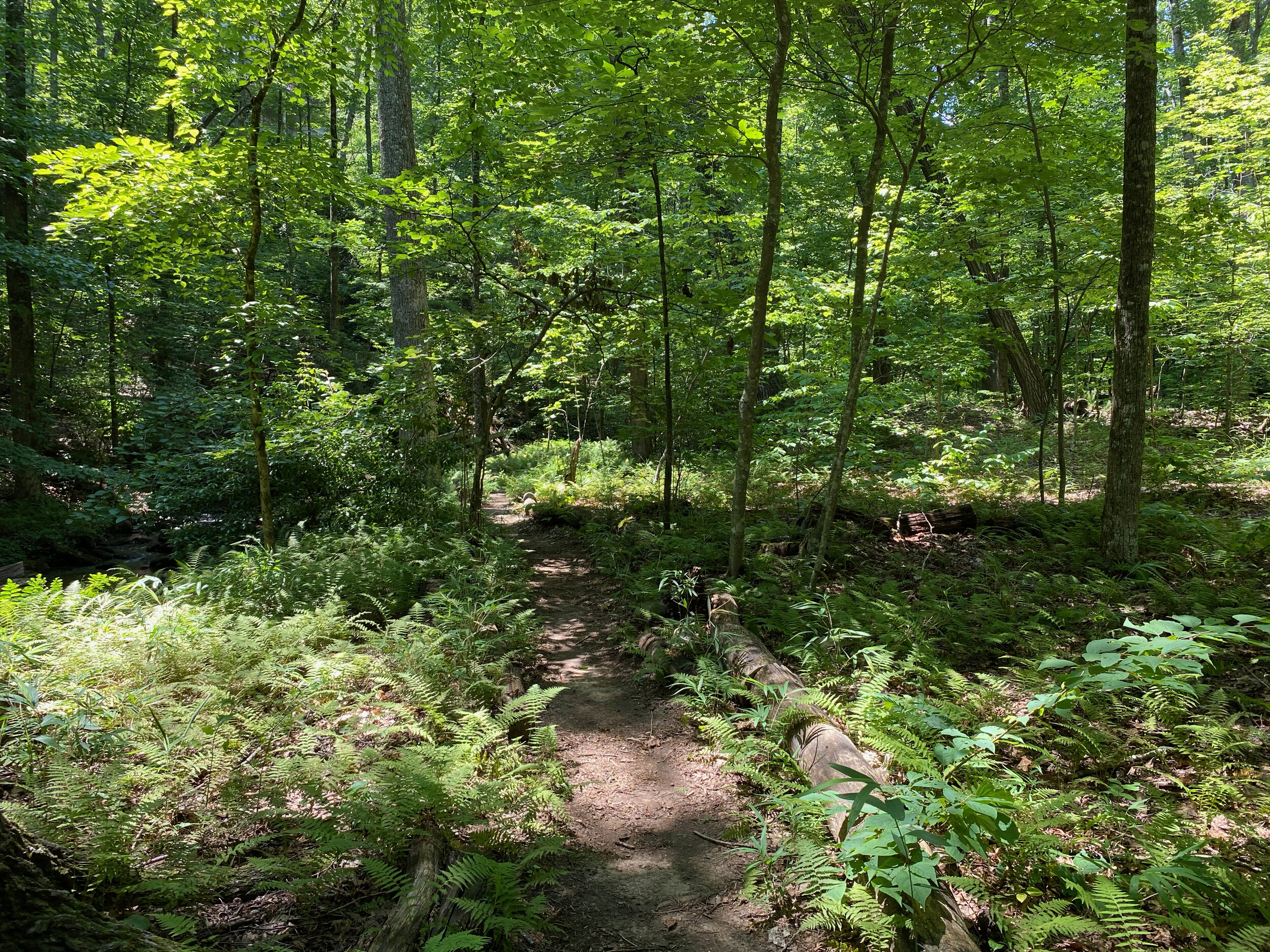
Starts off the Jeep Trail and ends on Disharoon Trail. Flat trail making its way among ferns and creeping ground pine, a rare native plant.

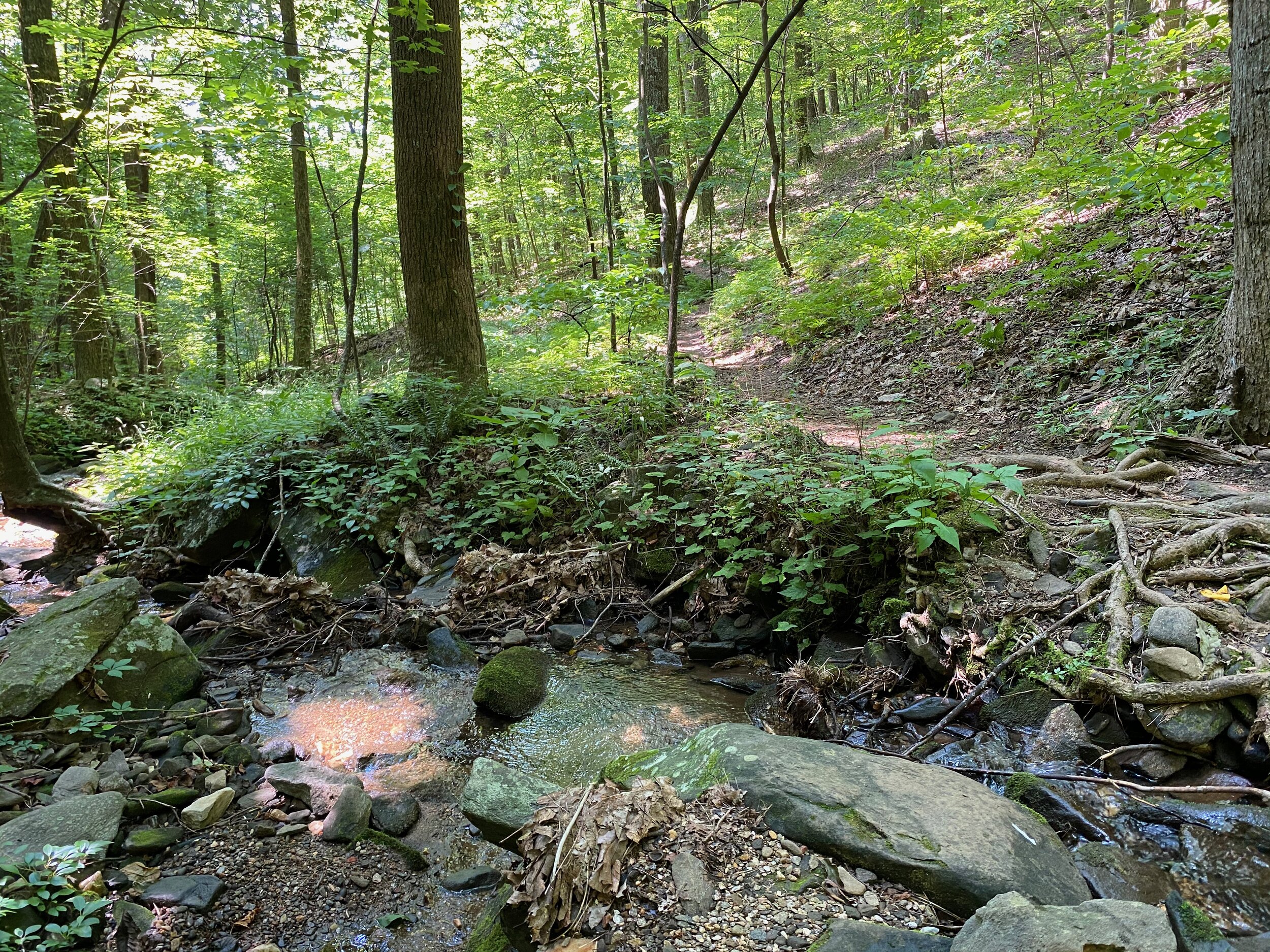
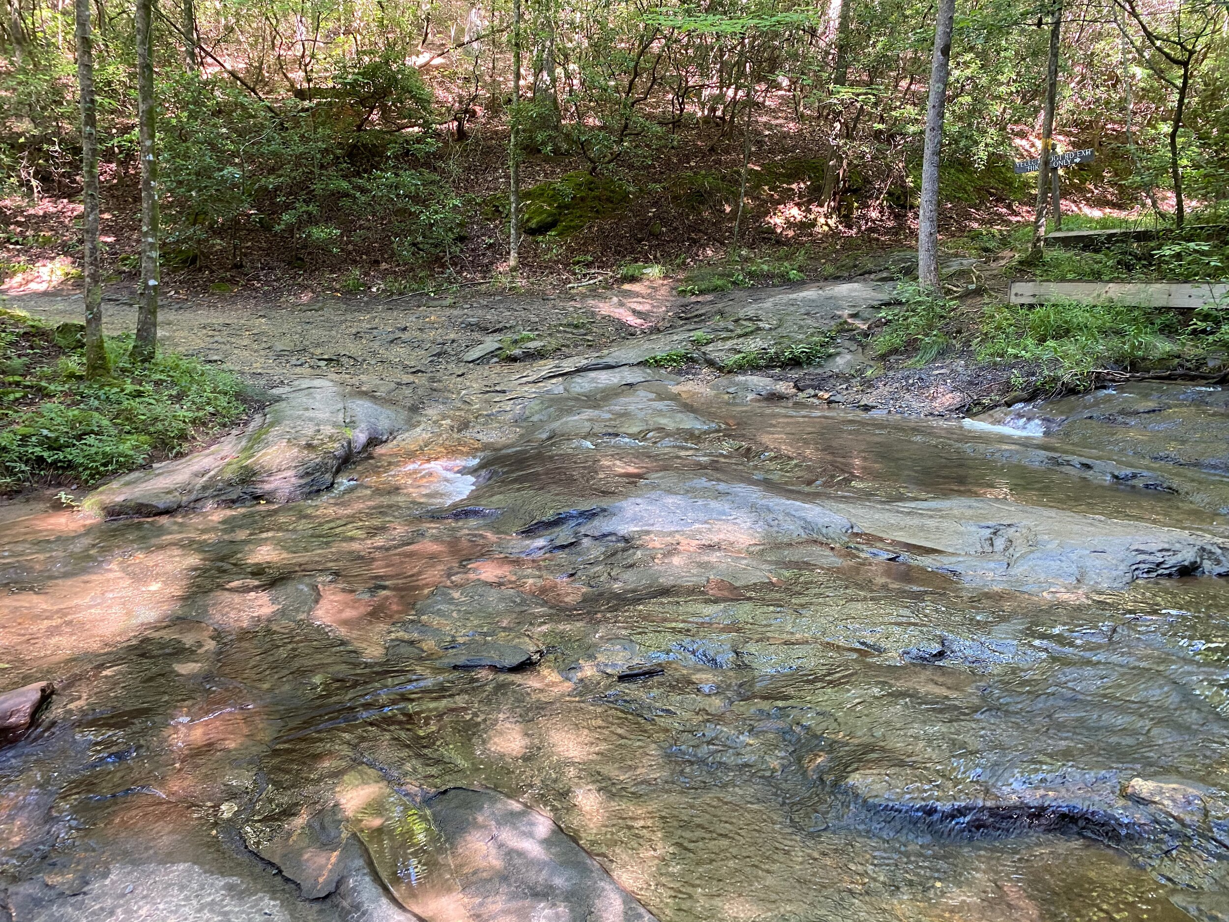
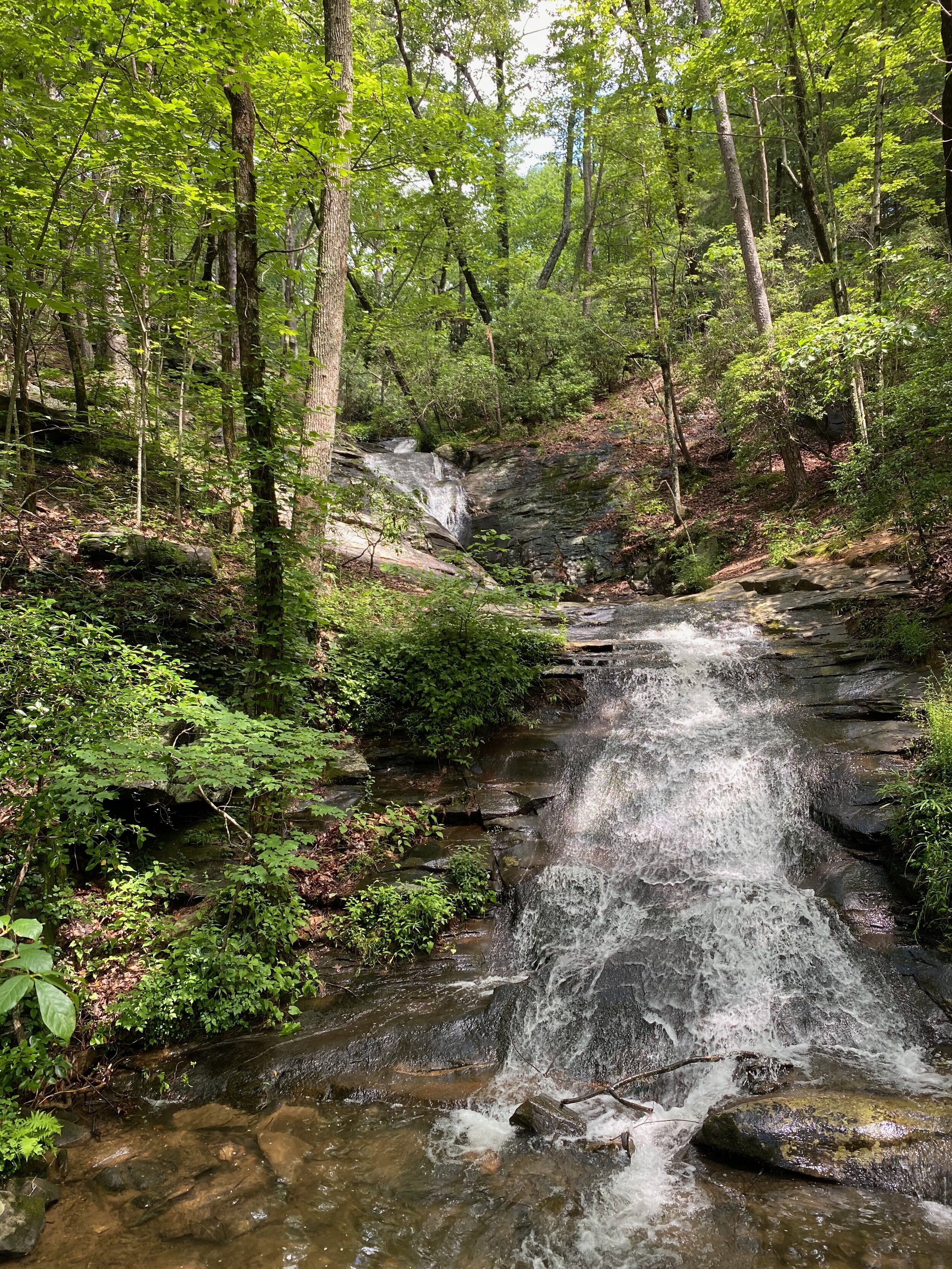
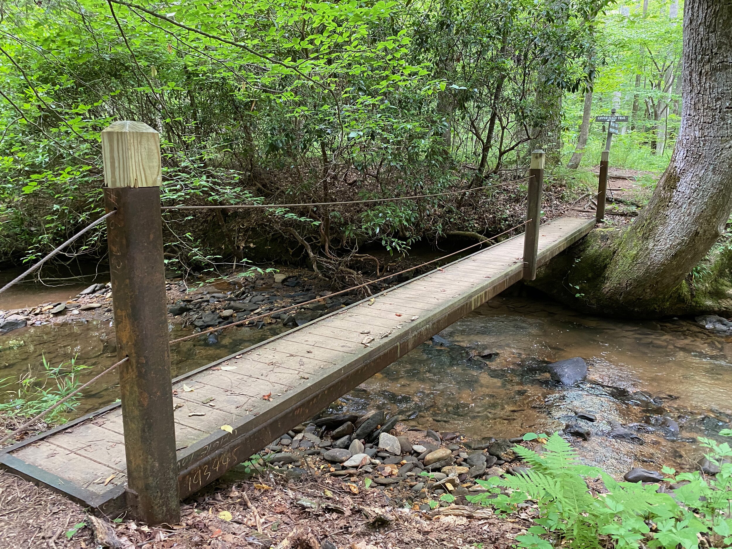
Lower Falls Trail
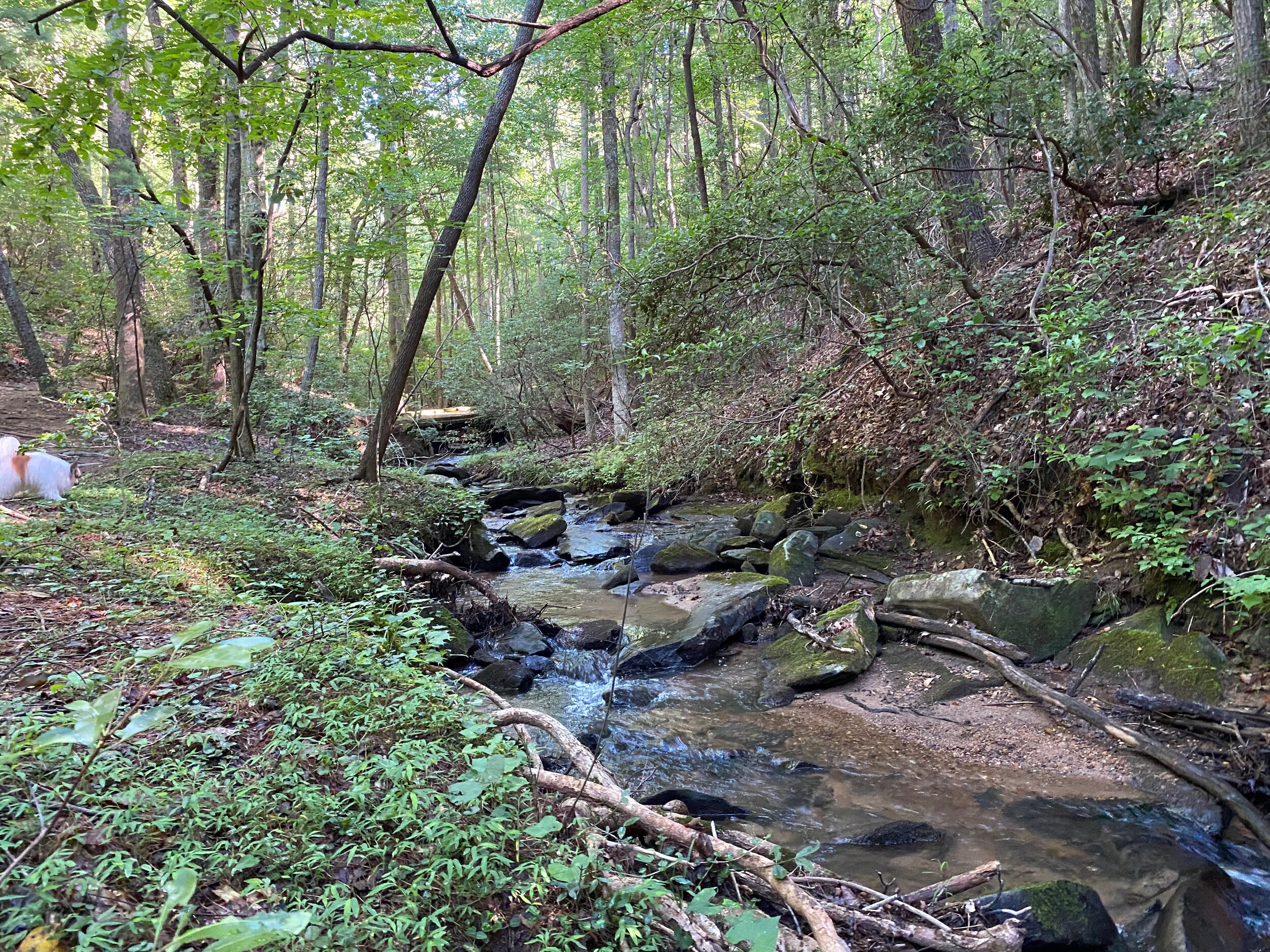
Starts at Wilderness Parkway, as a continuation of Disharoon Trail and ends at the Lower Falls where the Upper Falls Trail starts. It follows Disharoon Creek and crosses the Jeep Trail about ¾ of the way to the Lower Falls.

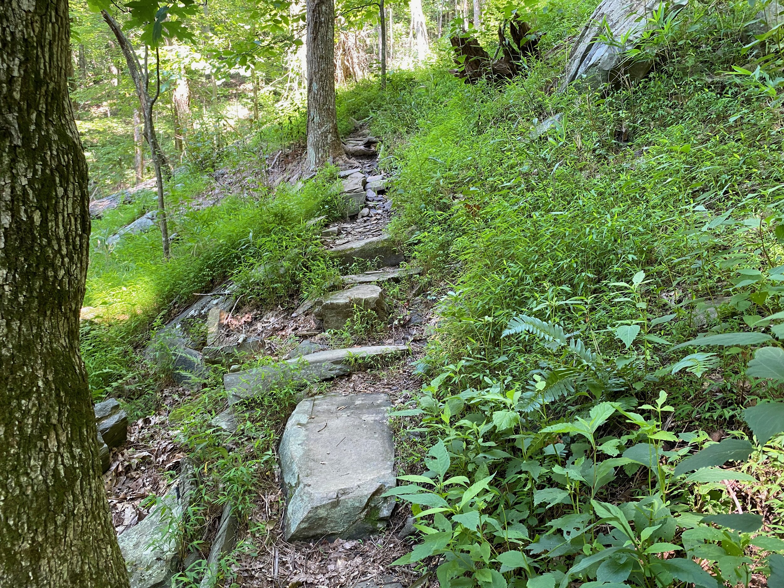
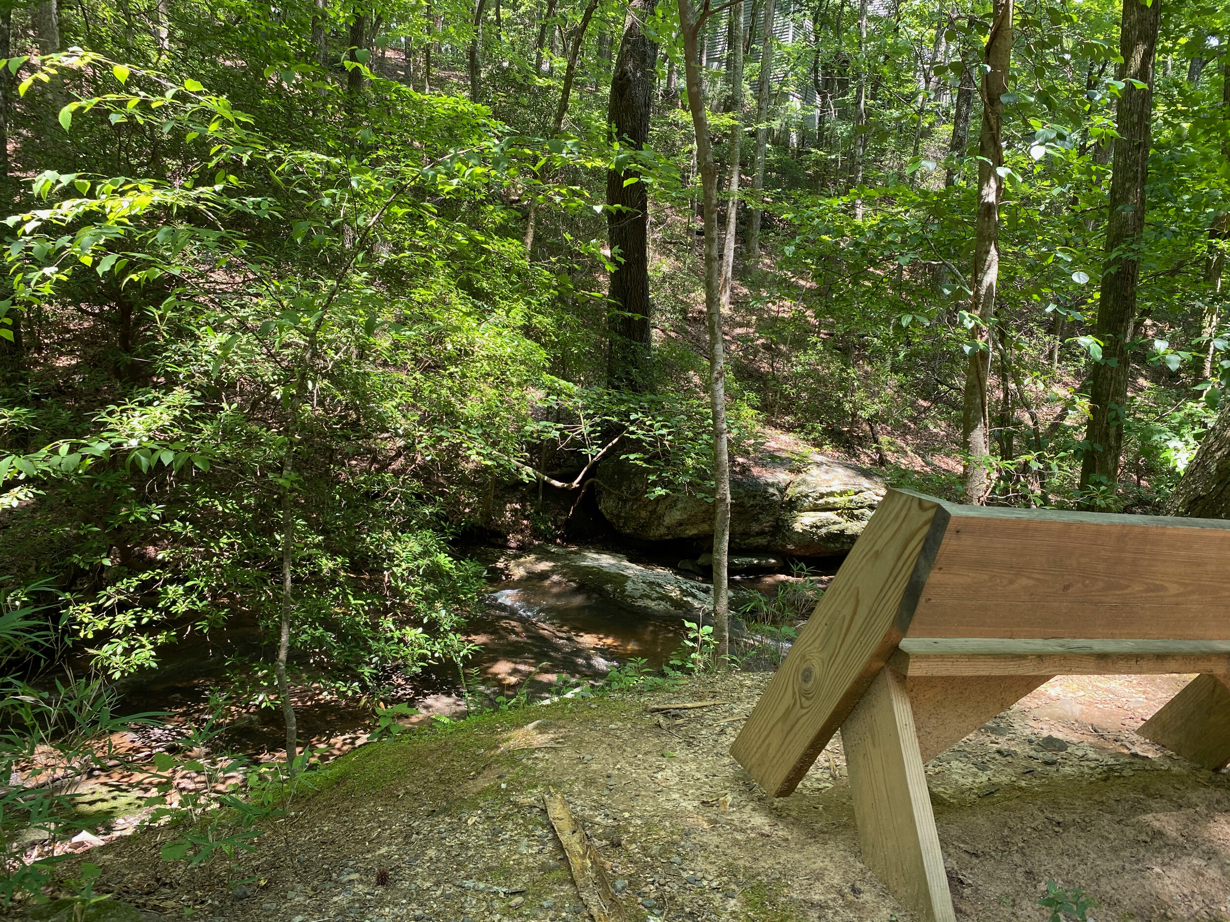
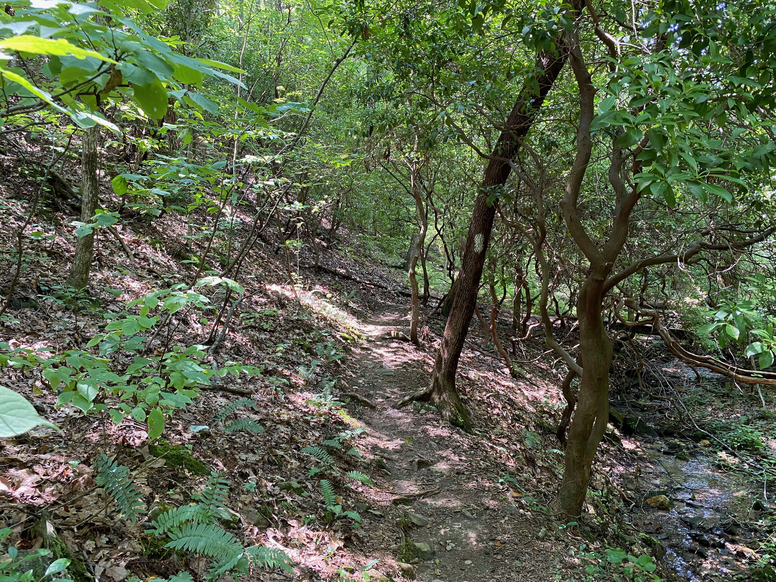
Nancy Womack Trail
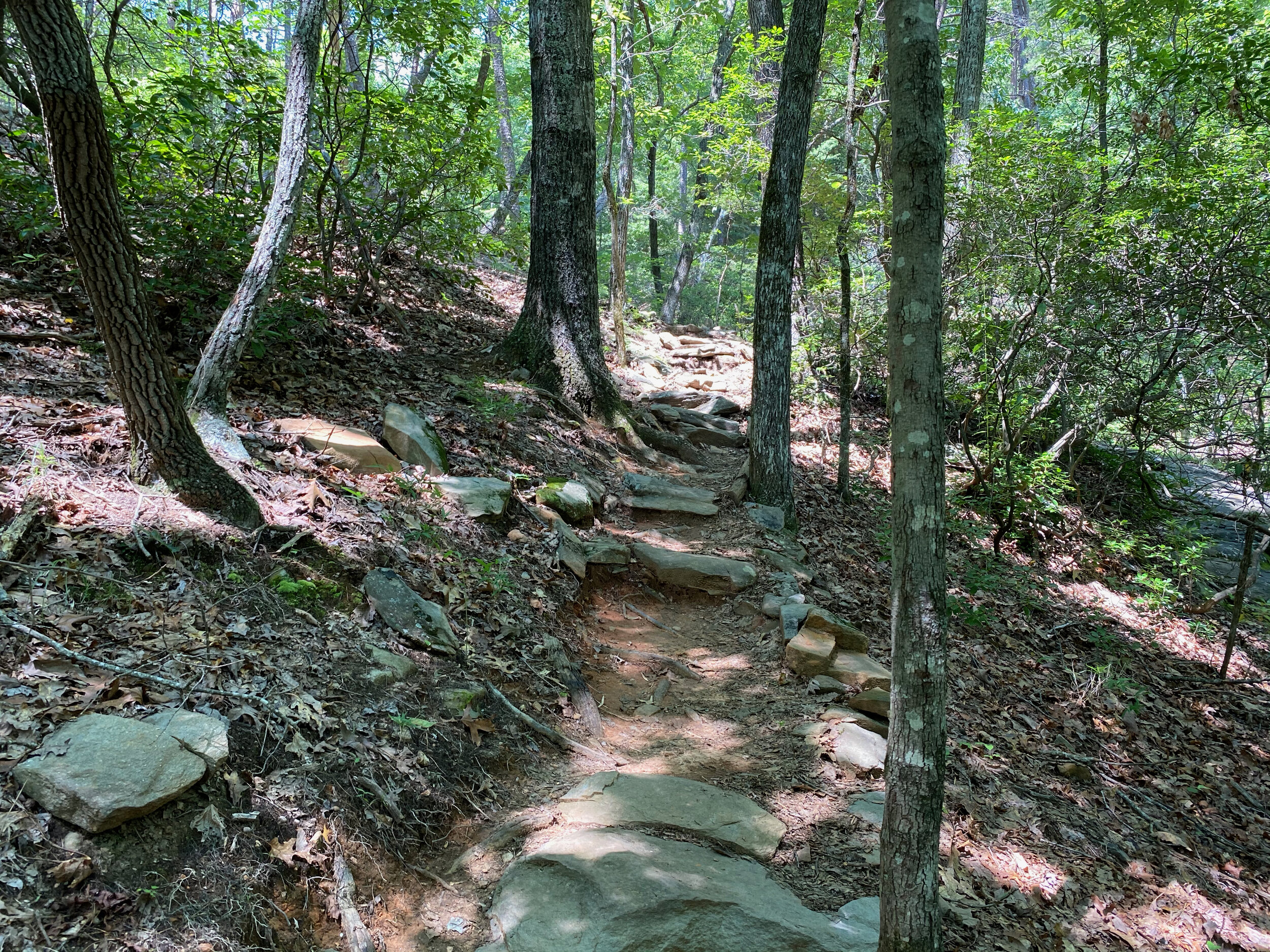
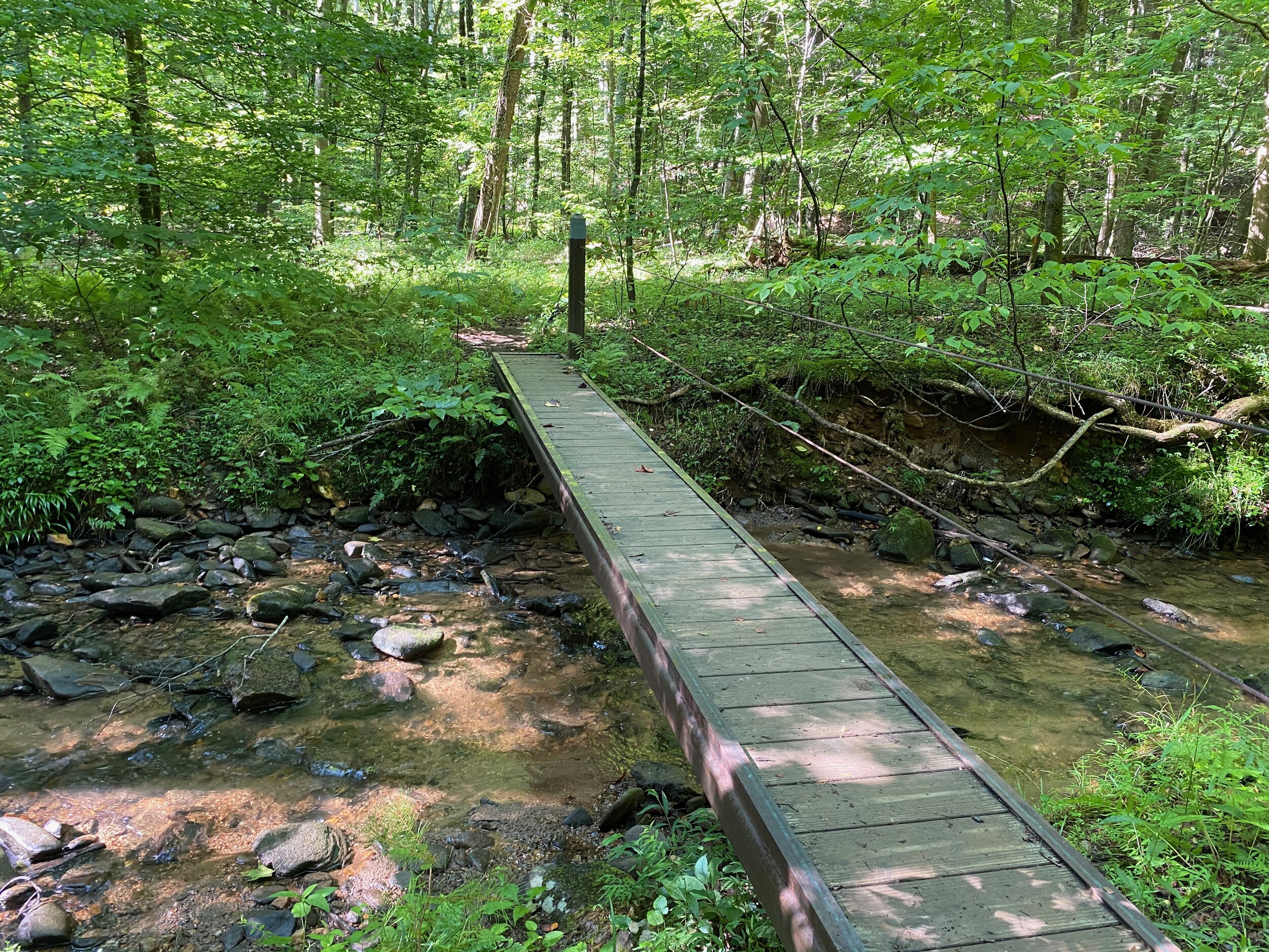
Starts at the end of the Upper Falls Trail, near where the Jeep Trail turns to end at Mountain Mint. Initial section is very rocky but not too steep, then it crosses Valley View Road and becomes steeper with multiple stream crossings. Many of these do not have bridges, you must step across on the large rocks. You get to the Nancy Womack Falls, where there is a bench to rest and admire the view. Then the trail continues up, ever steeper, to Ponder Point, a lovely little waterfall with a pool, worth the trip. Beyond this is where the fun really starts. The following mile to the top is relentless and the steepest in Big Canoe, with switch backs toward the top. You end at the top of the Deer Run Ridge Extension, near Monument Road. The way back is a lot easier!

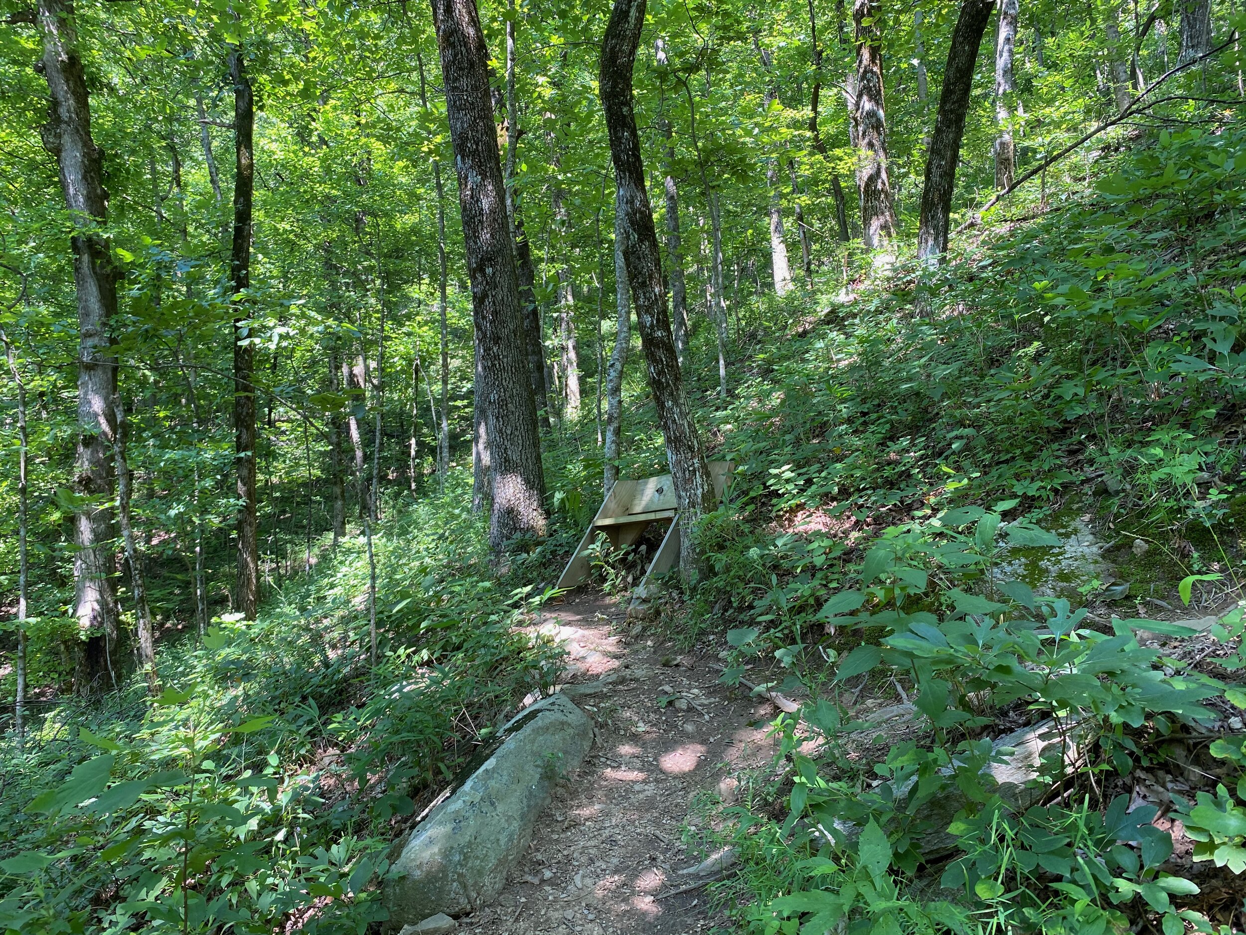
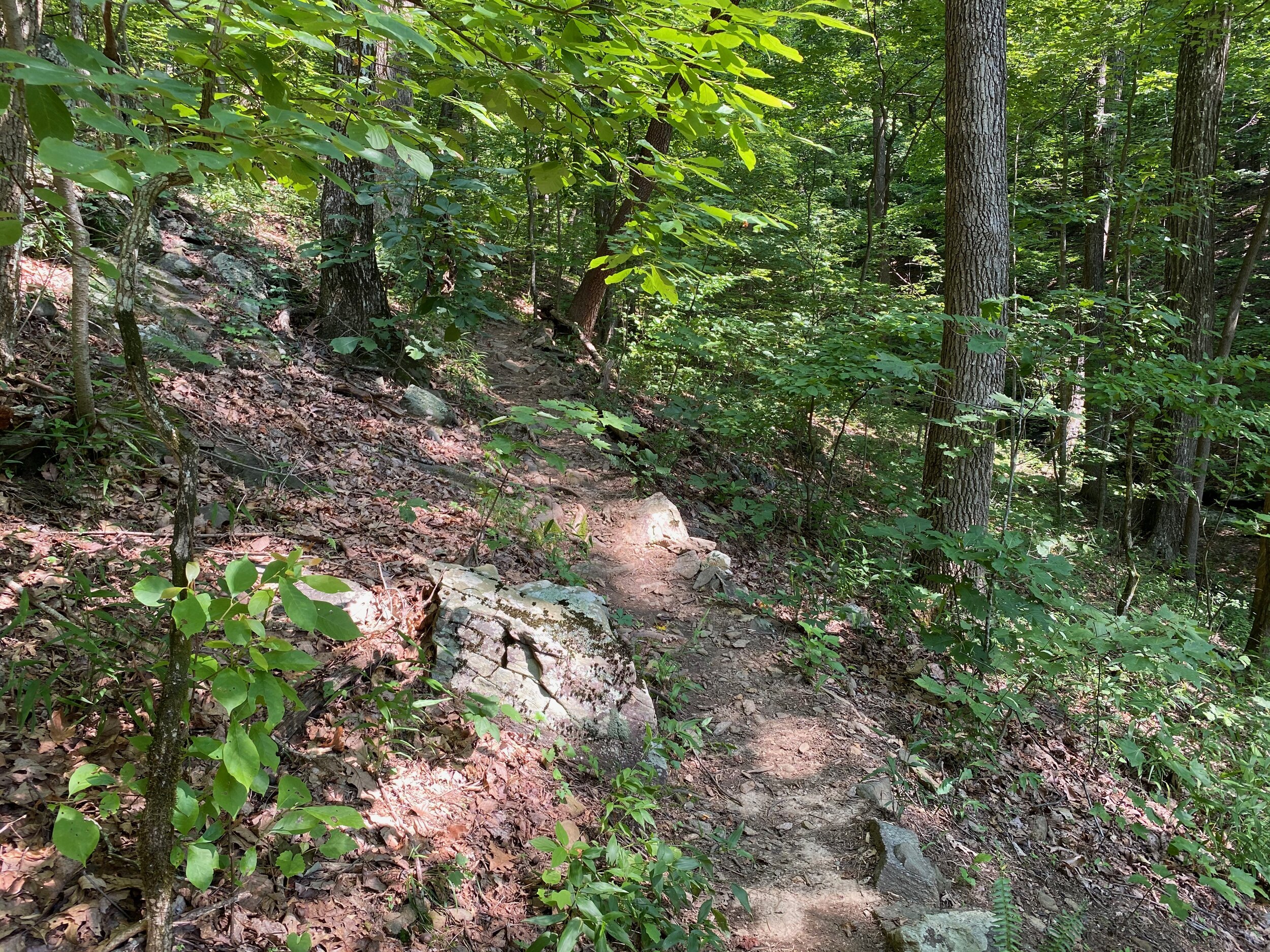
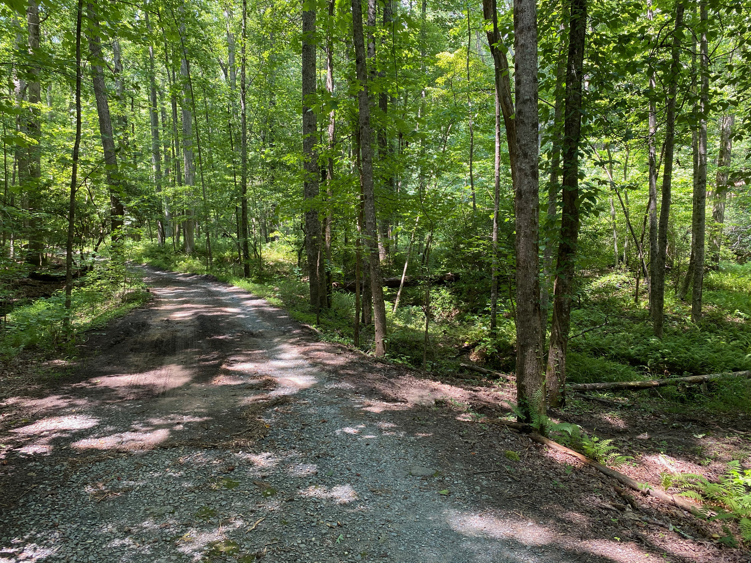
Jeep Trail
It’s a rough trail. Only 4x4 vehicles with good clearance can attempt it. A favorite of hikers and mountain bikers too. It technically starts at the end of Laurel Ridge trail, but the preferred, and official entrance is at Wilderness Parkway. It has the elements of a proper challenge for a Jeep: deep ruts, steep slopes with boulders, many creek crossings, rocky sections and muddy areas. The last bit is very steep. It ends at Mountain Mint Road.

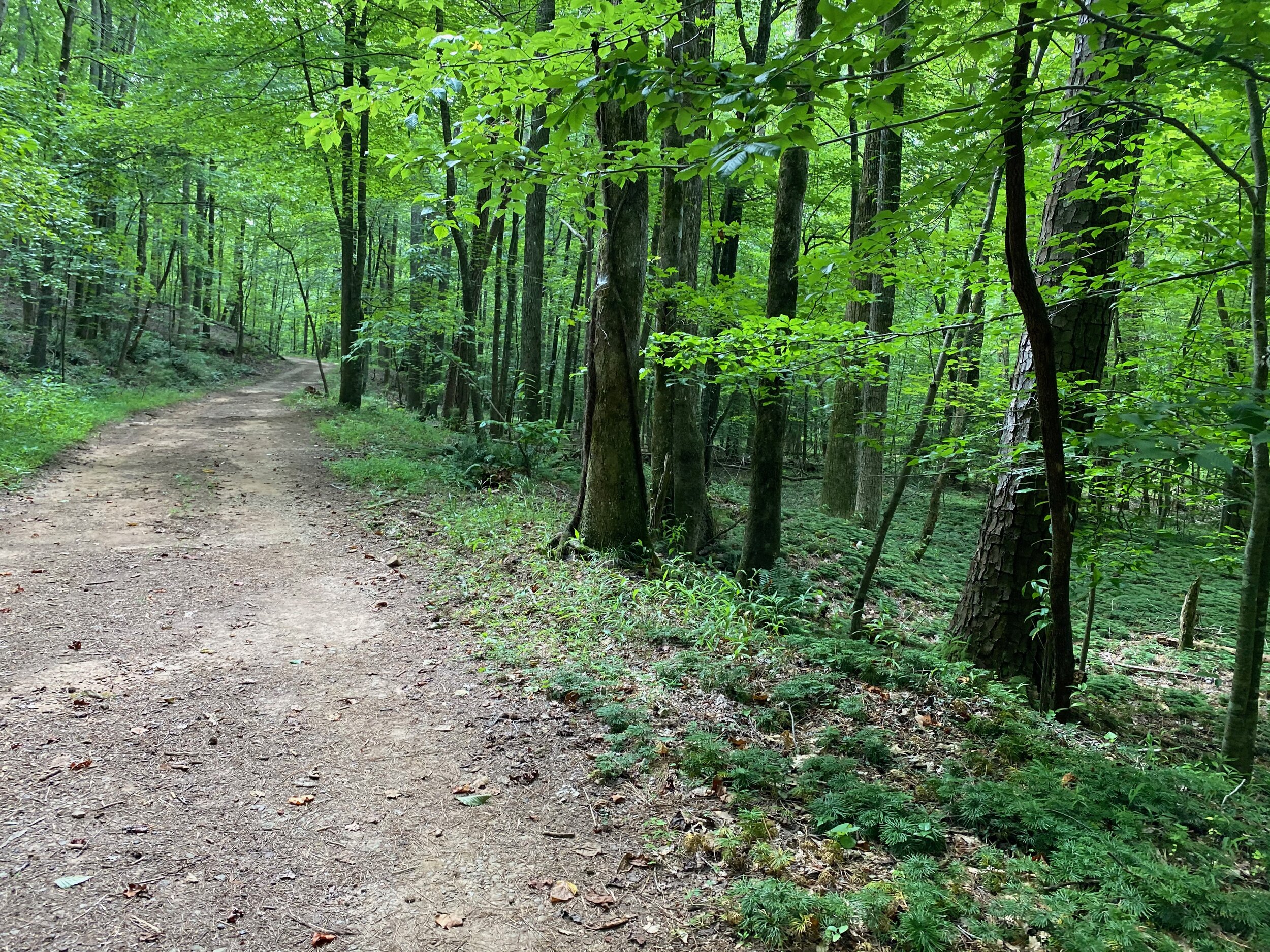
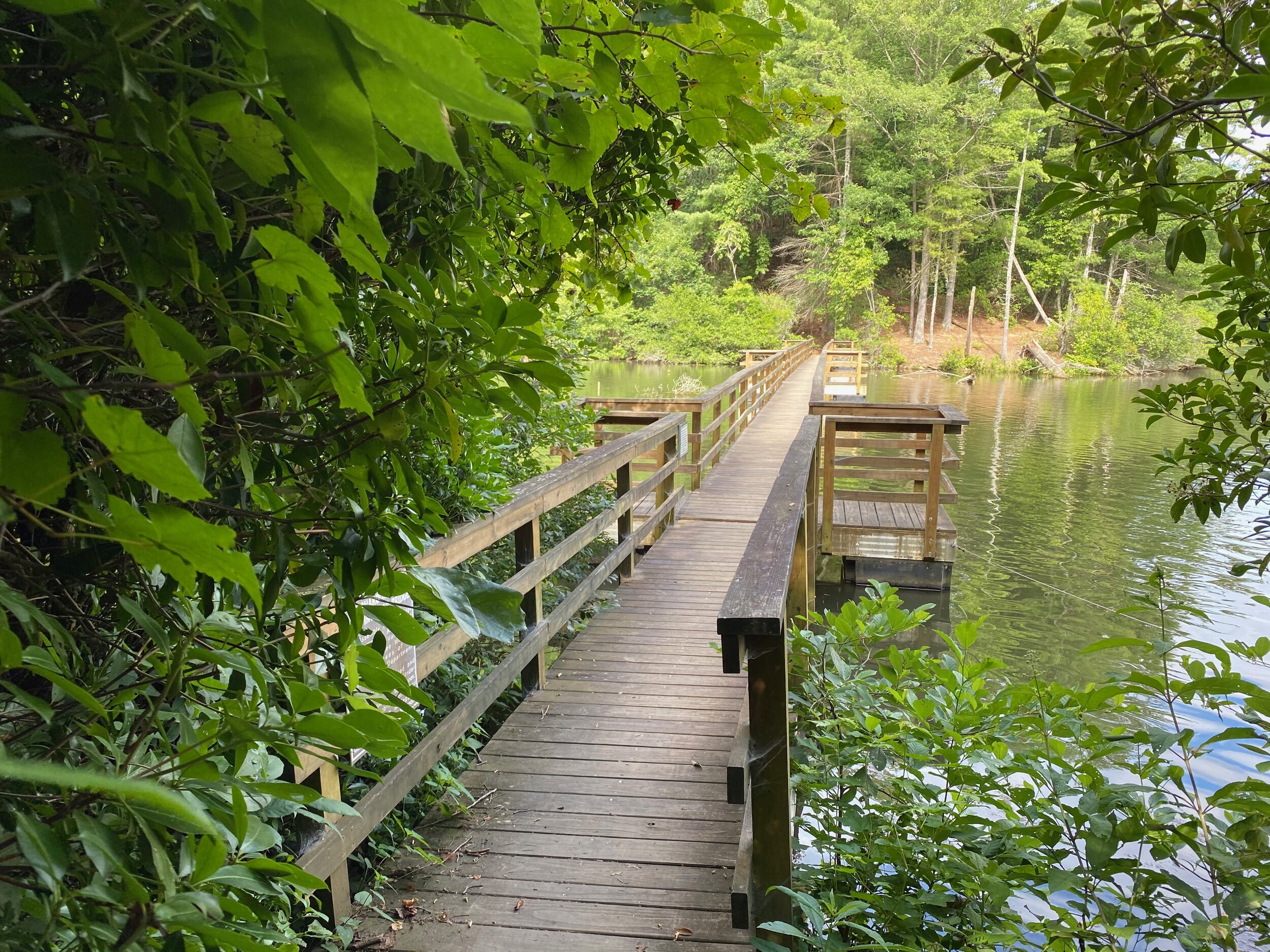
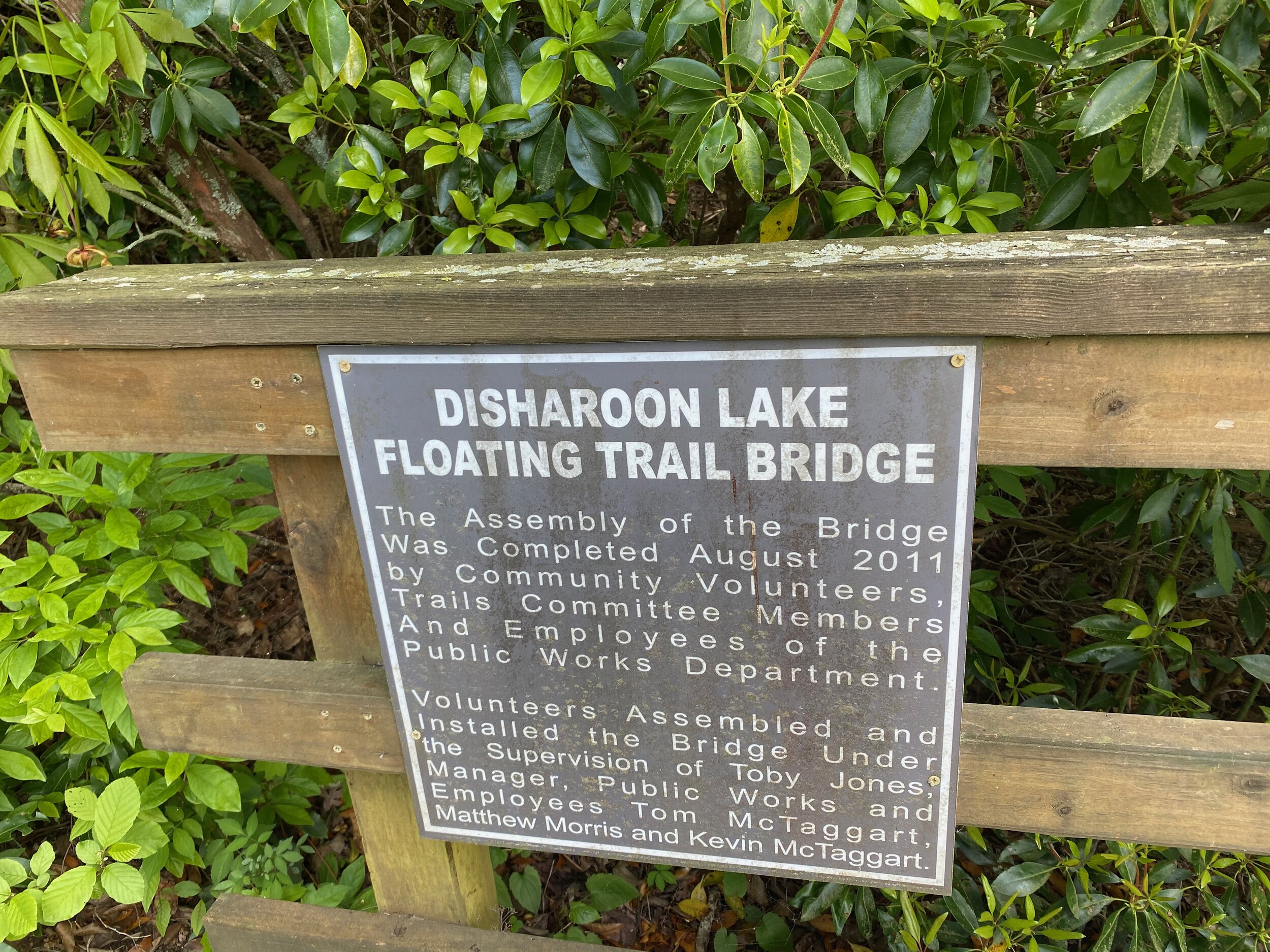
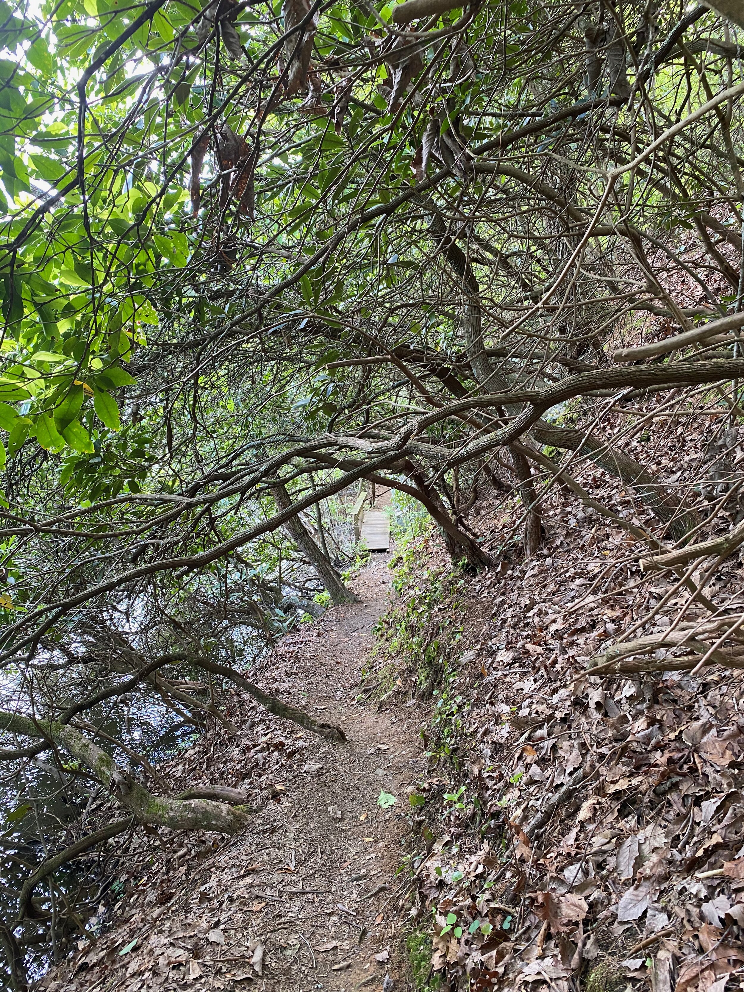
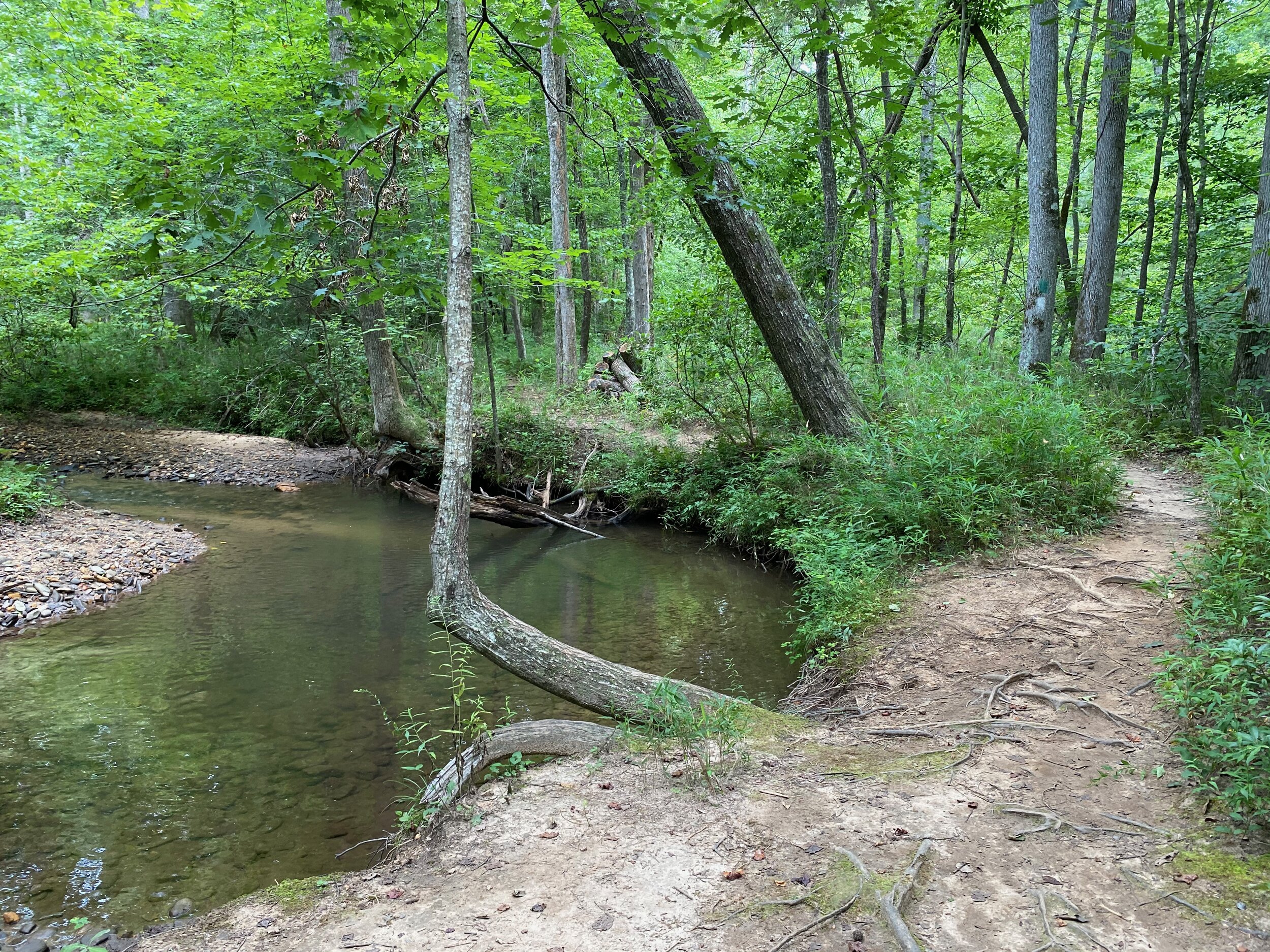
Disharoon Trail
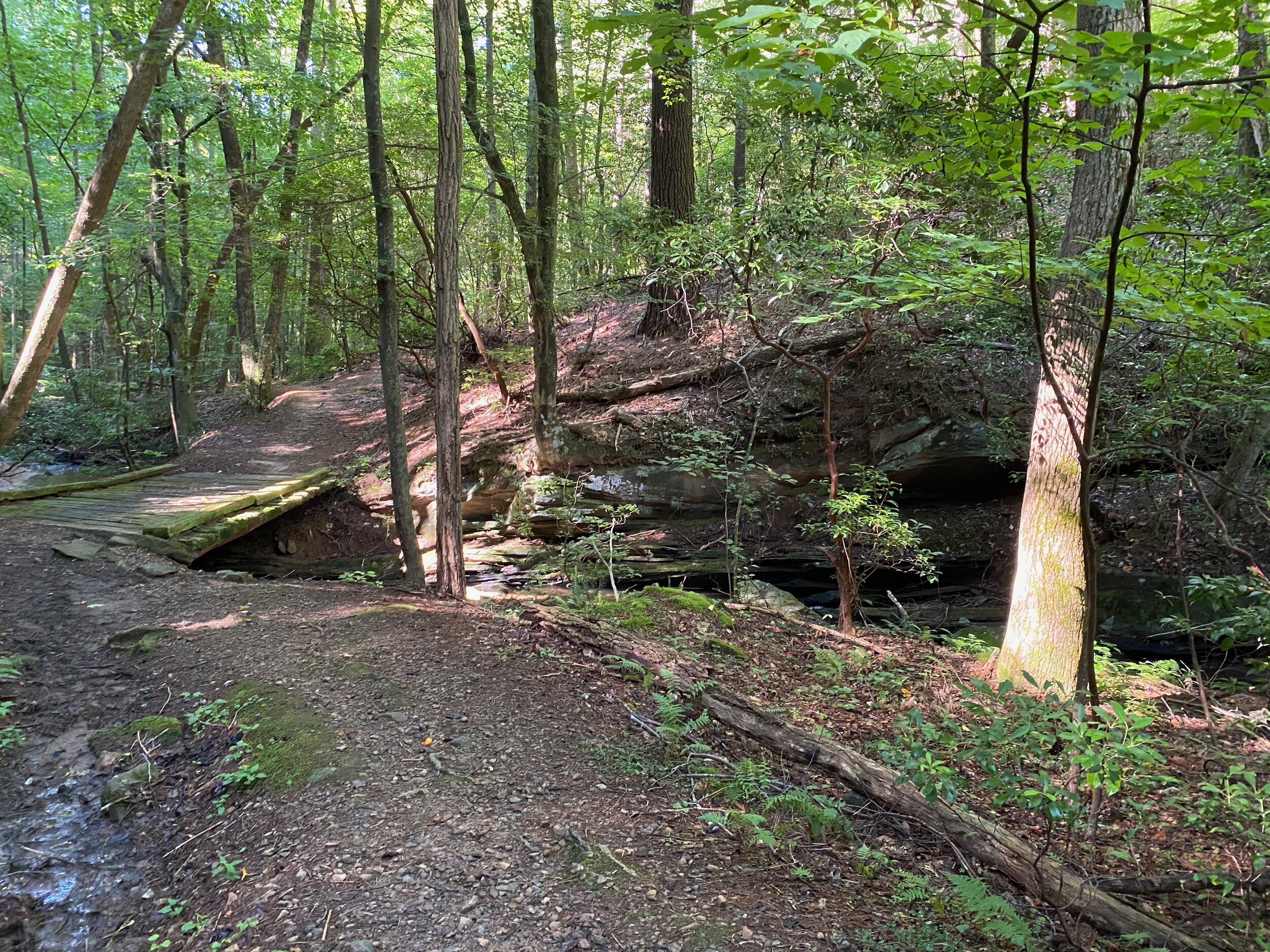
Goes from the Wellness Center to Wilderness Parkway. Crosses Lake Disharoon over a floating bridge and then continues along Disharoon Creek, through sections of rhododendrons and mountain laurel. Some steep areas with lots of roots you must pick your way carefully. For the most part it’s easy and flat.

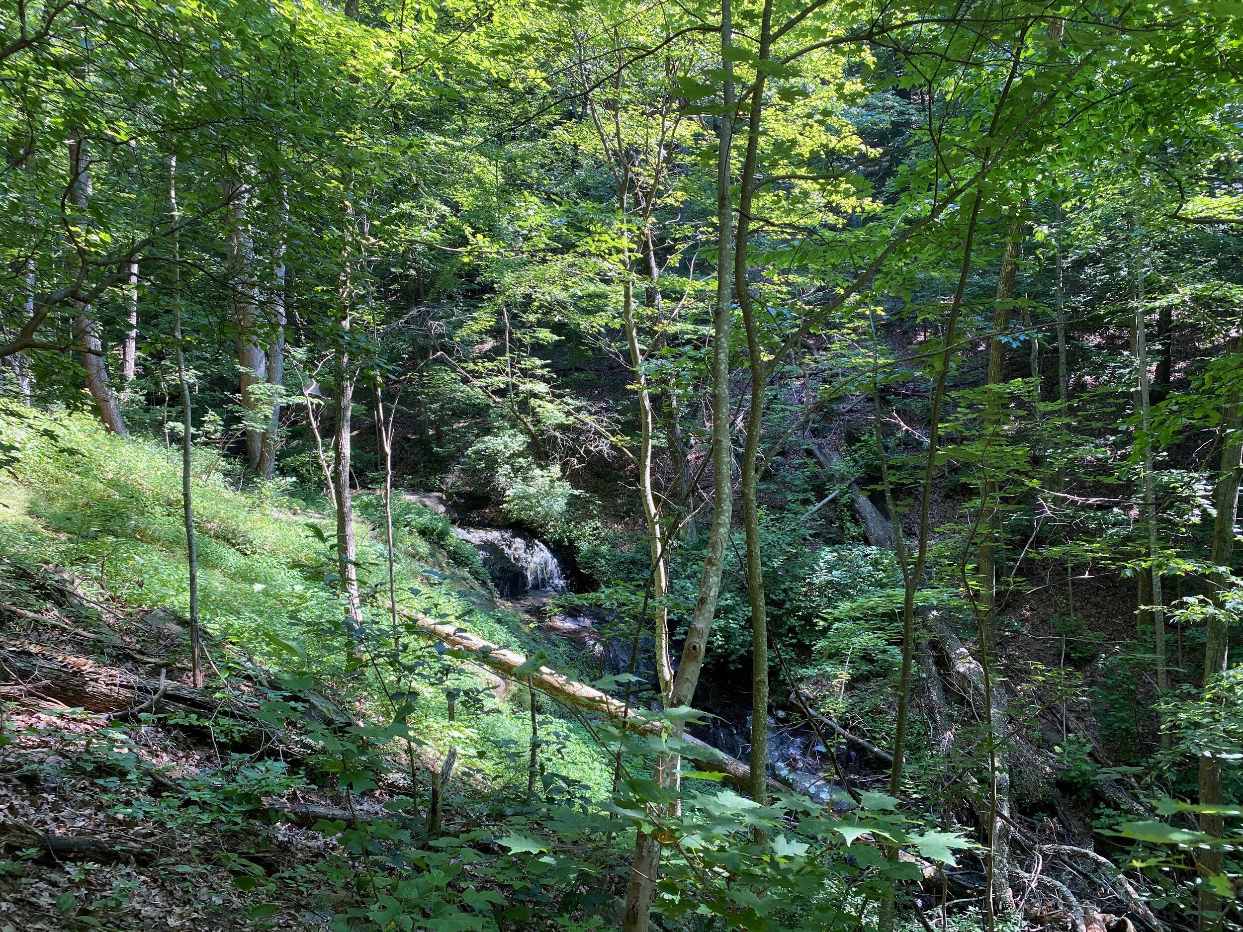
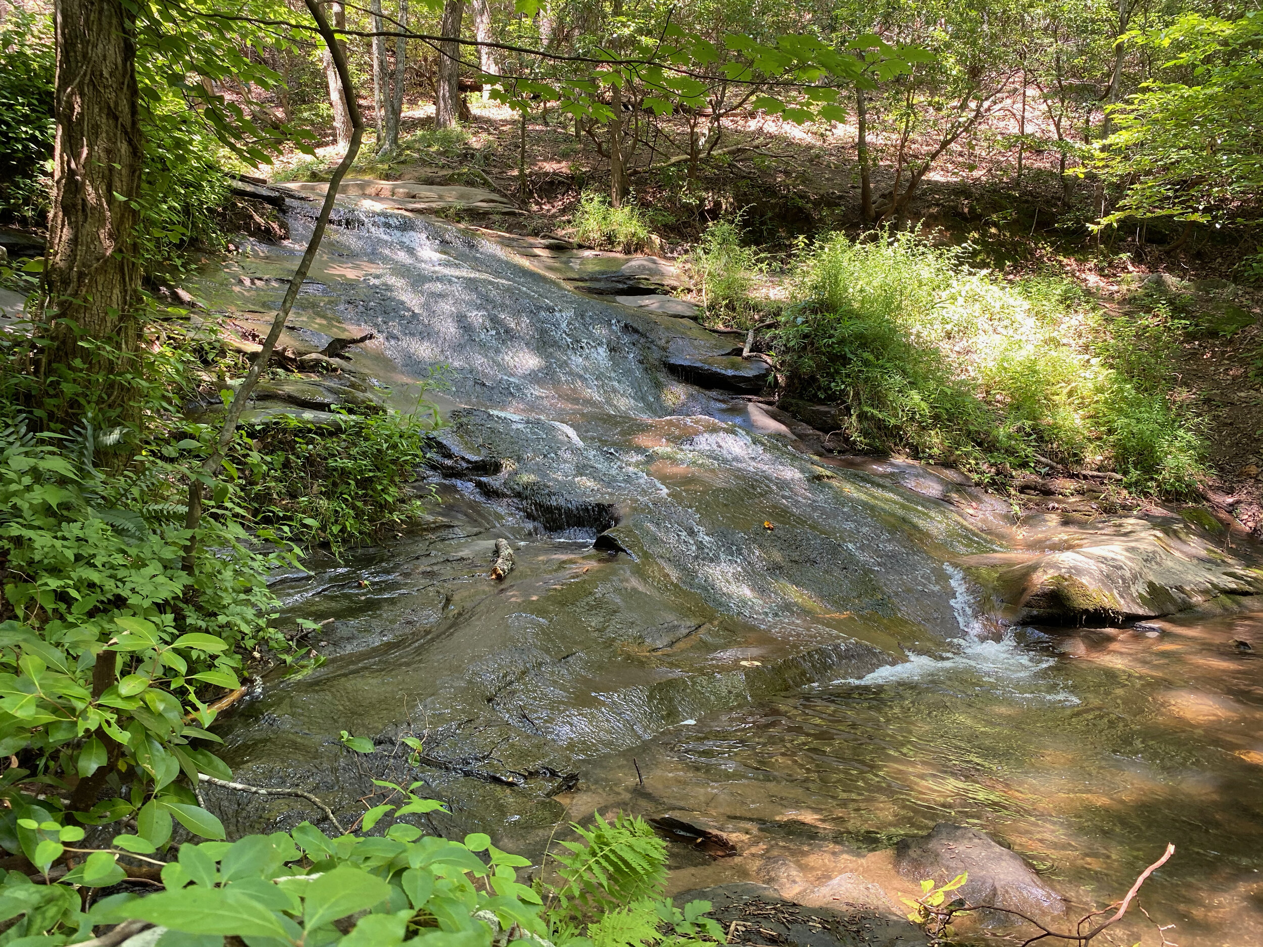
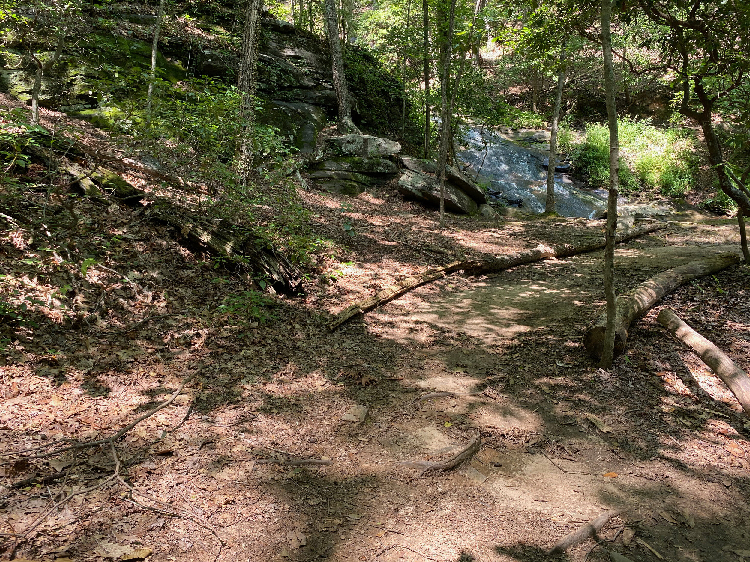
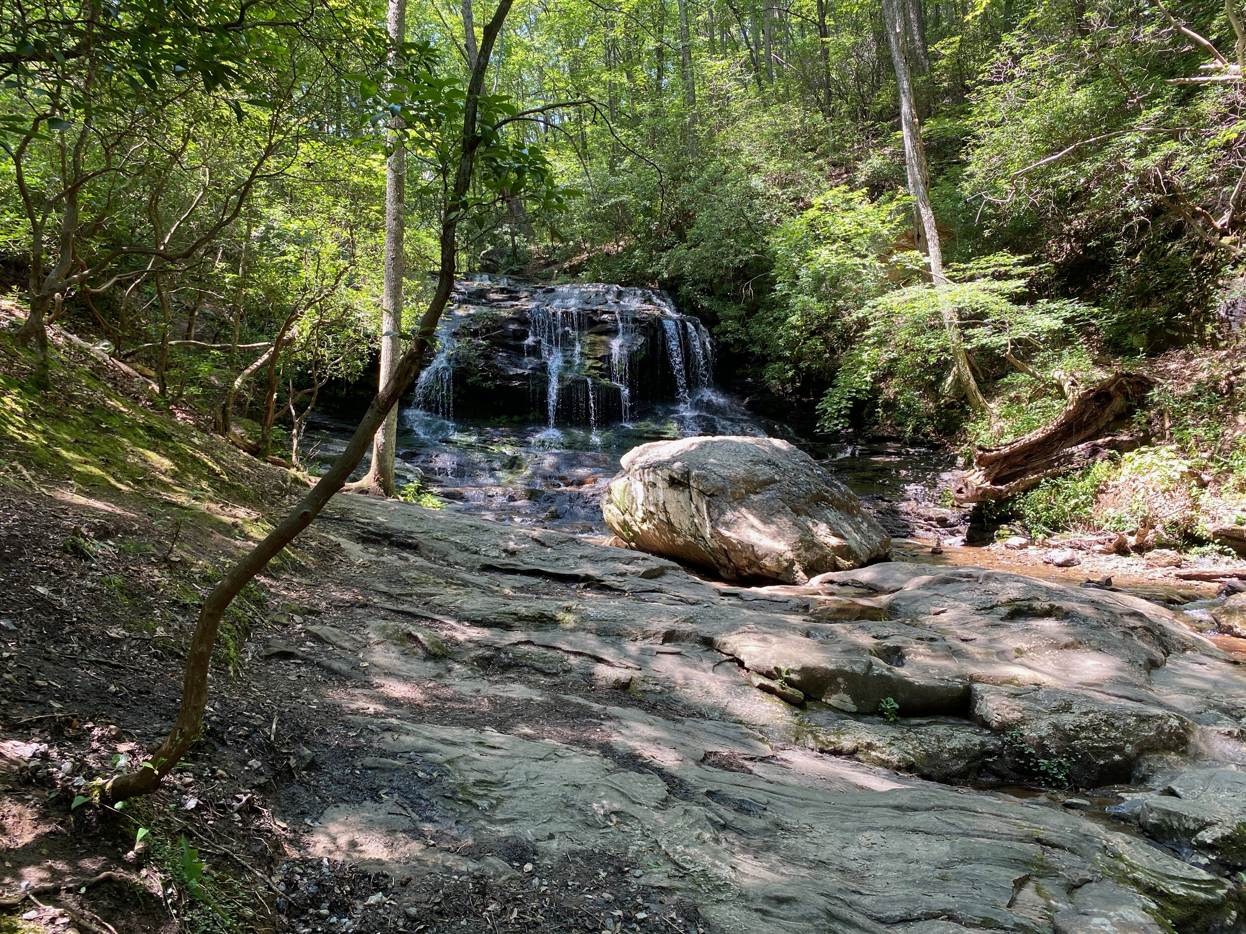
Upper Falls Trail
Starts off the Jeep Trail at the Lower Falls, up some steep areas leading to the Upper Falls, continuing past the falls till it ends at the beginning of the Nancy Womack Trail. Several steep areas, but you get to see the view of the falls both from the base, and from above. Rugged trail.

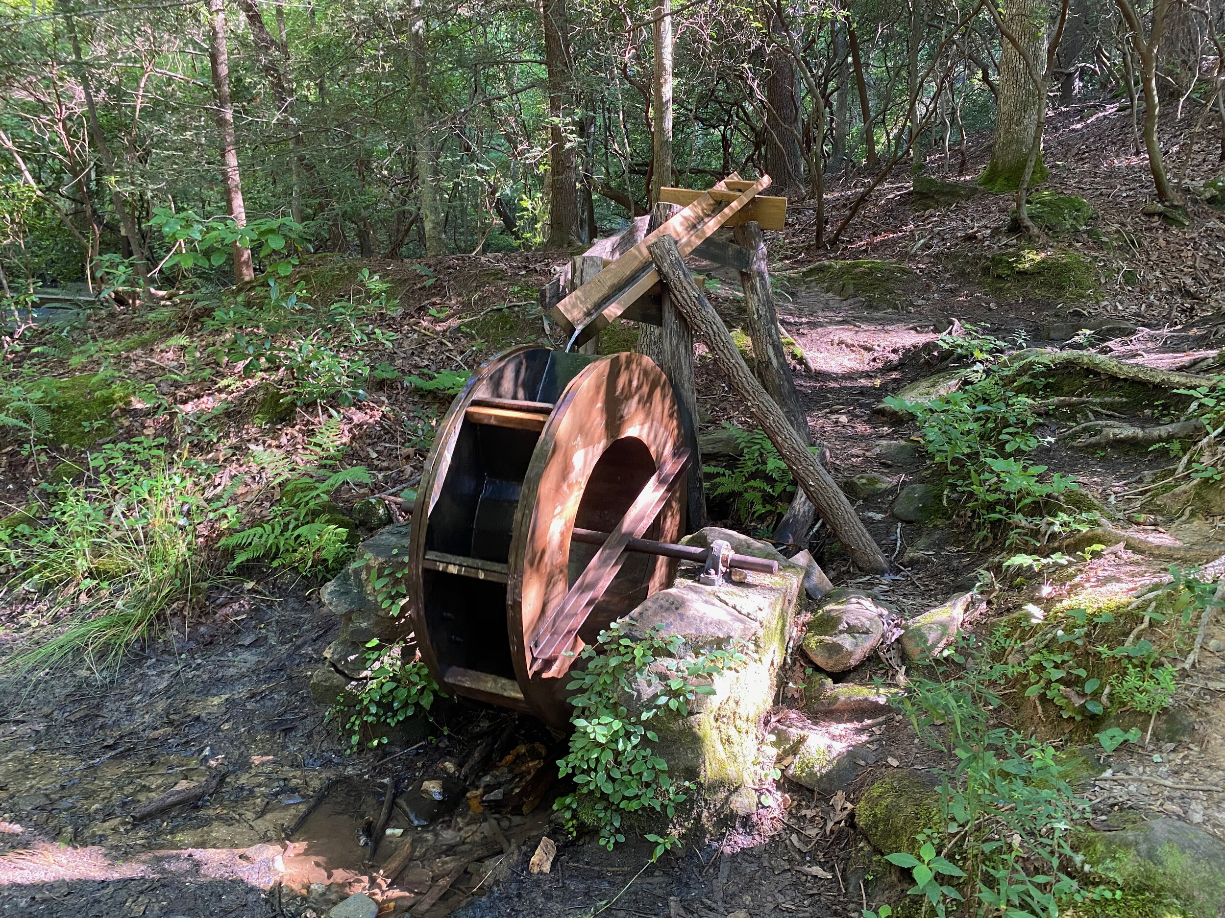
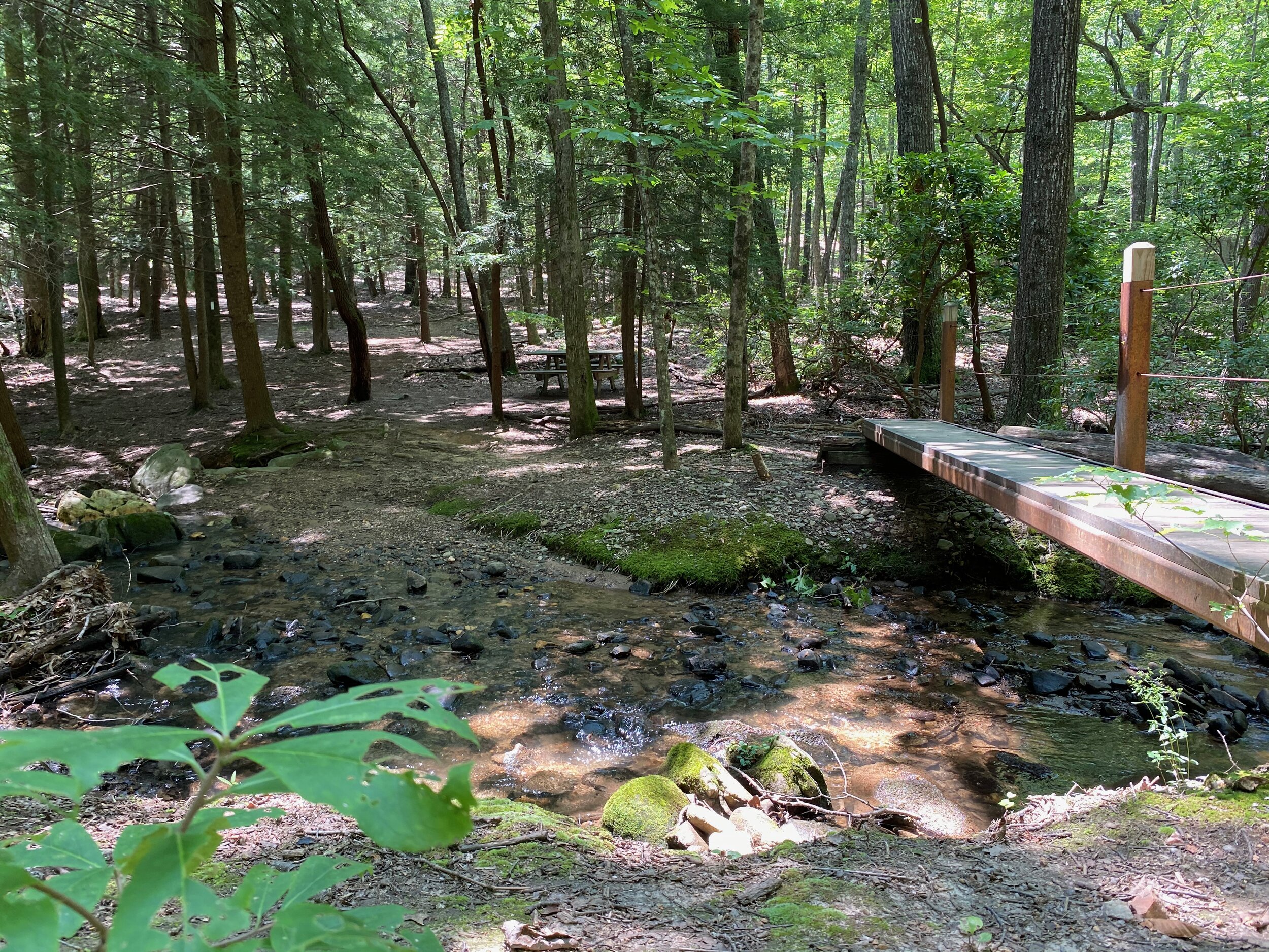
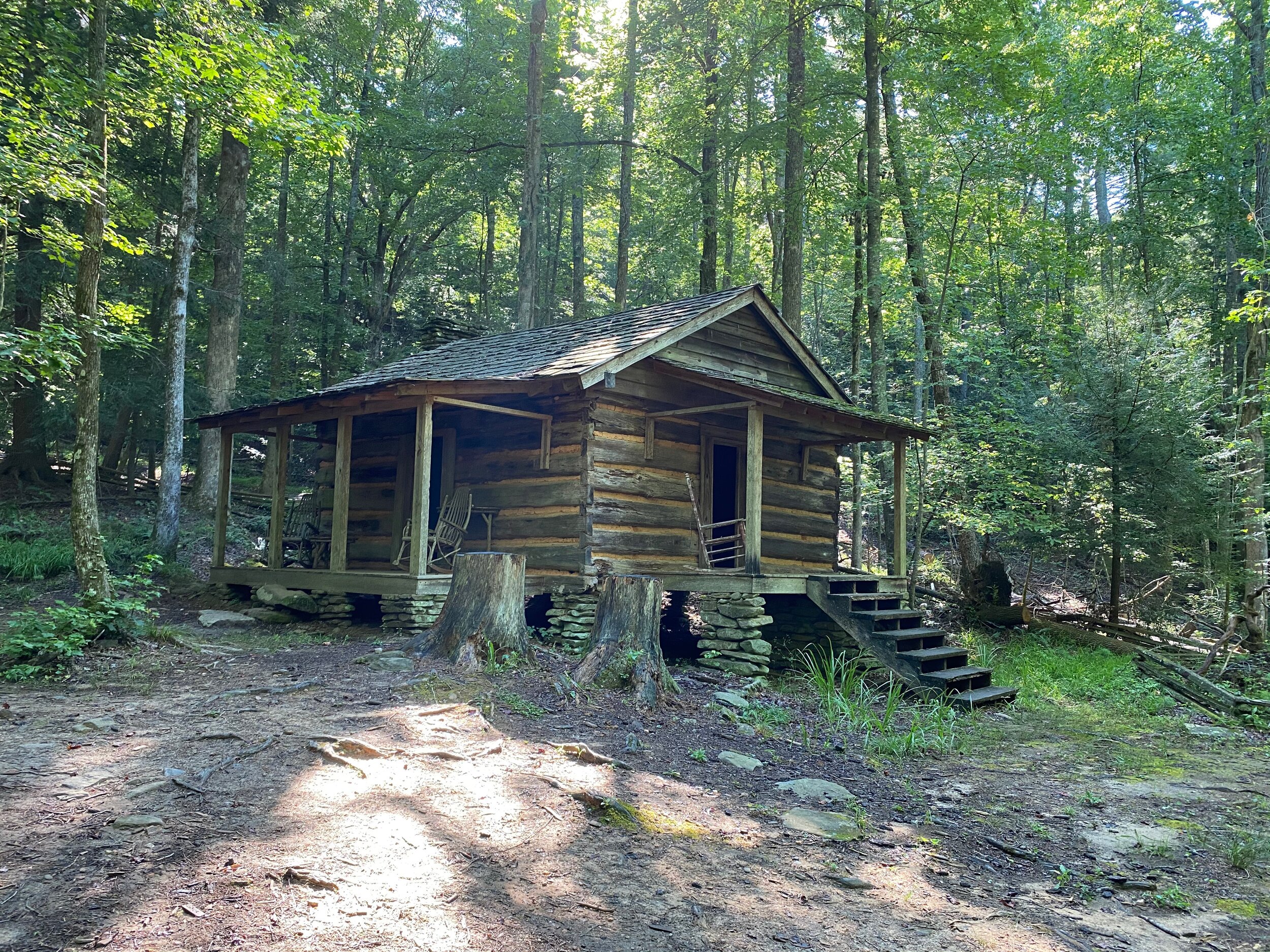
Cabin Loop Trail
A short trail starting at the Disharoon Cabin off the Jeep Trail. It’s lovely with its nature setting and stream crossings; an easy stroll. The cabin is historic. This was the dwelling of a typical prospector family. Not quite like our modern homes, is it? This particular cabin was built in the mid-1800s, near where the Clubhouse is now. In the 1970s it was moved to its current location.
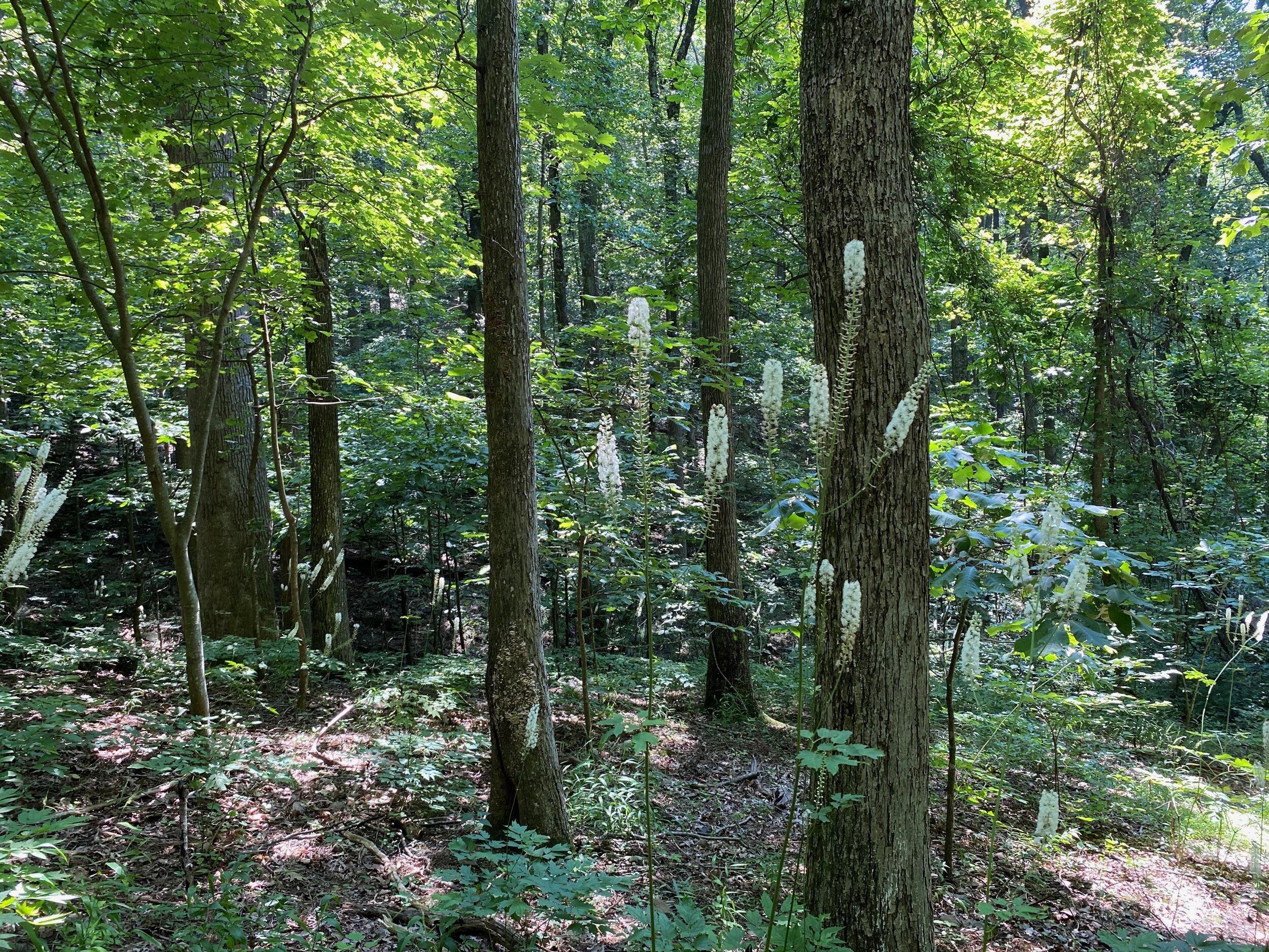
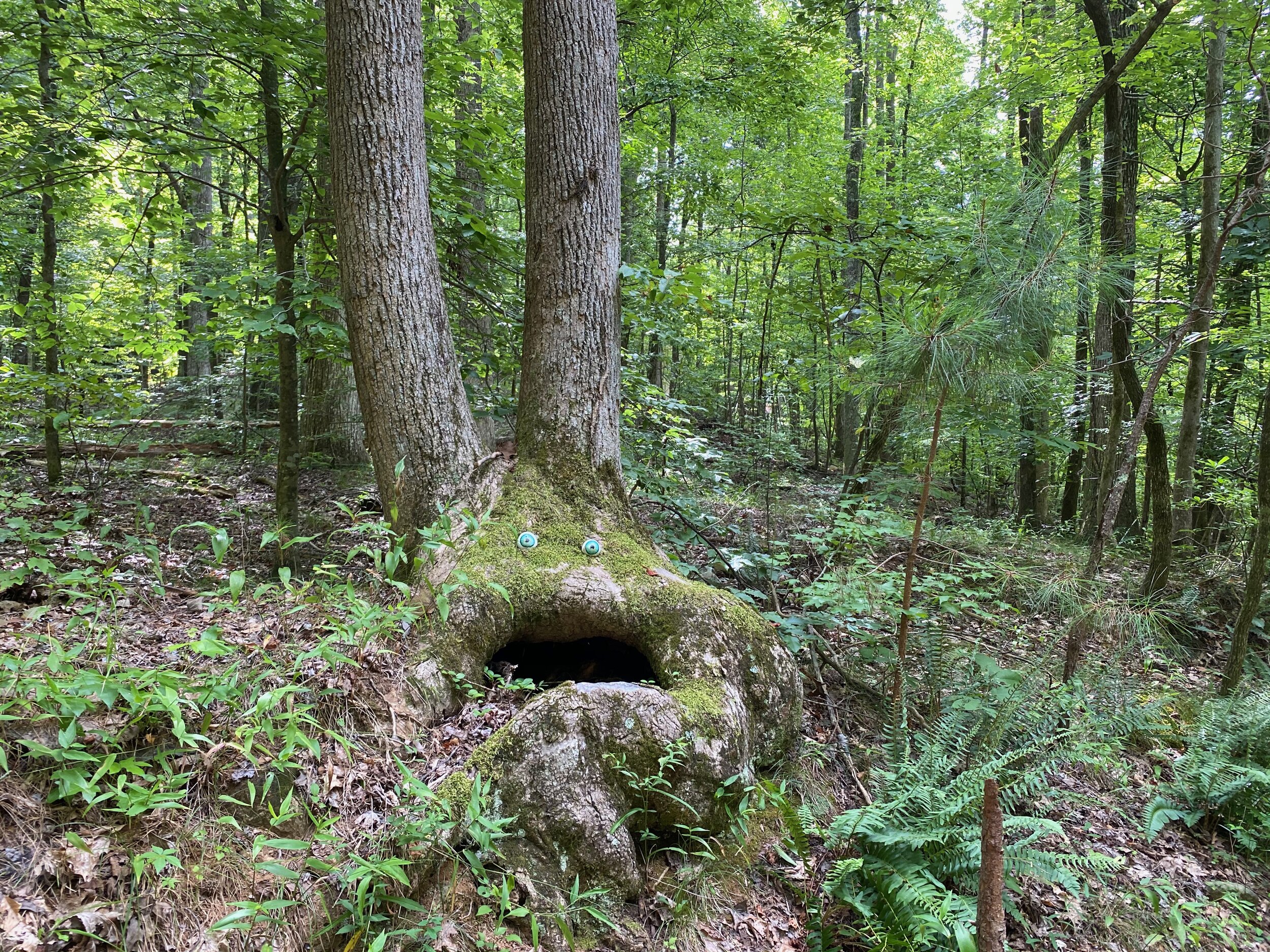
Nature Valley Picture Gallery