Mt. Oglethorpe: Triumphs, Tears and Trails
Having walked the north Georgia mountains for more than thirty years, one of my life’s goals was to spend my twilight years nestled in and around these beautiful mountains. Little did I know that I would be settling in within five minutes of one of the most history-rich mountains in Georgia – Mt. Oglethorpe. And I certainly didn’t know that a group called the “Trails Committee” would have created and maintains almost twenty miles of trails allowing so many of us to intimately enjoy the nature surrounding us without having to pack for a day trip.

View to the south from Mount Oglethorpe. Photo by LIz Scherer.
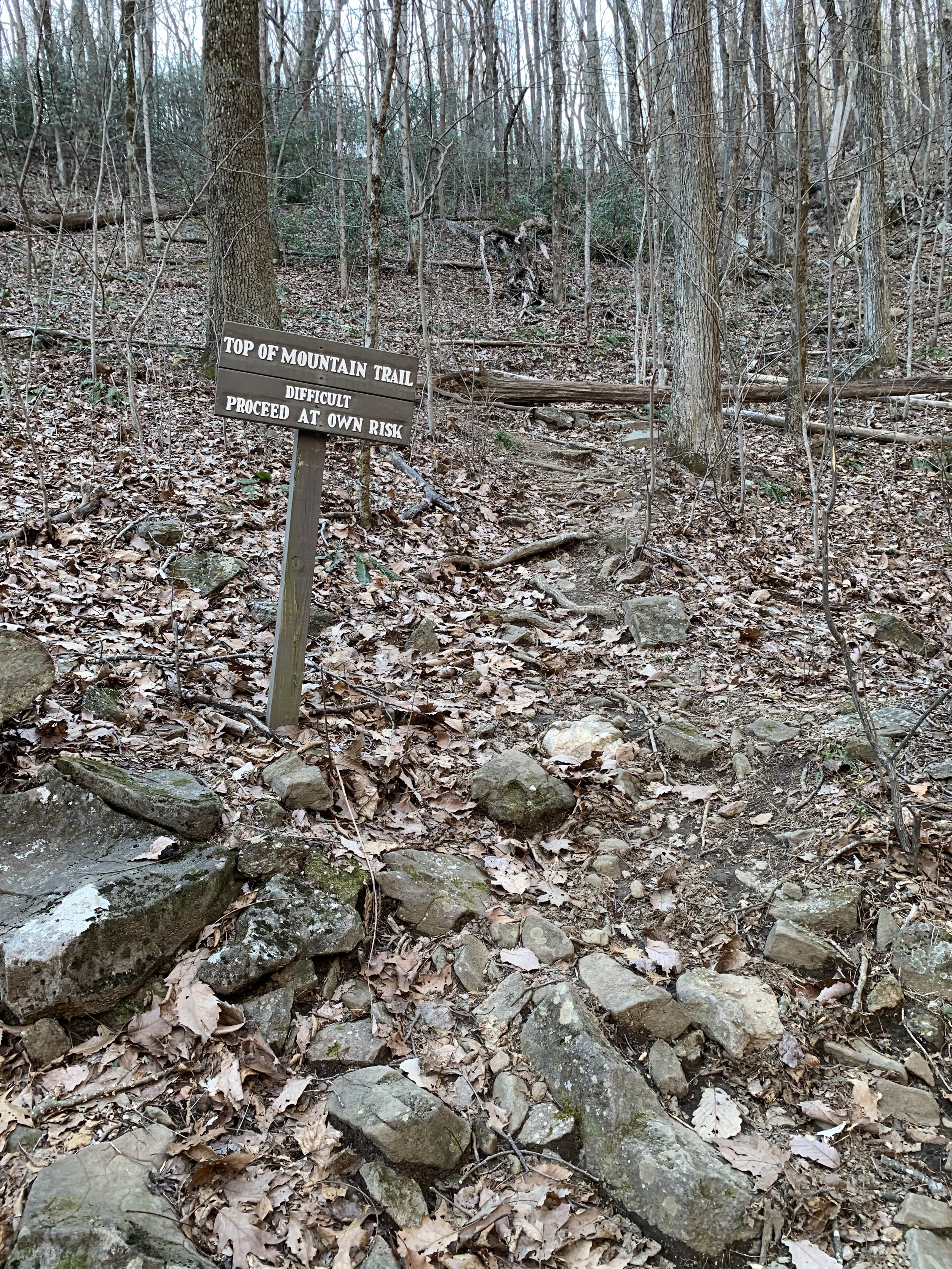
The trails and waterways wind their way back and forth through Big Canoe like a vine around a hundreds year-old oak tree. We are told that the trails that intertwine these forests are the most popular amenity offered in Big Canoe. This is certainly no accident. Our Trails Committee spends thousands of man-hours each year to make sure that our trails hover on that thin line between ease of access and pure nature. Among all of the beauty and mountains that surround us, one monument of nature stands head and shoulders above the rest - Mt. Oglethorpe. At 3,288 feet, Mt. Oglethorpe is the highest peak in Pickens County and, arguably, the most difficult challenge for our Big Canoe hikers and our Trails Committee. It only seems befitting that we occasionally take a few minutes to honor the mountain and those people, both future and past, that built and maintain the path up Mt. Oglethorpe known as the Nancy Womack Trail.
Top of Nancy Womack Trail. Photo by Bill Dempsey.
Because of its unique history, Mt. Oglethorpe is one of the crown jewel mountains in Georgia. The area surrounding Mt. Oglethorpe was first settled by the Cherokee Indians in the early 1700s. We can still see their mark on the landscape through the “bent trees” that are sprinkled throughout Big Canoe and the surrounding area. In the early part of the 1800s the native Indian population had in large part been decimated or removed due to diseases brought over from Europe. Andrew Jacksons’ Indian War of 1812 and the Georgia Land Lotteries of 1805, 1807, 1820, 1821 and 1833, through which most of the land was sold at a ridiculously low price to settlers, effectively forced most of the native Indians from places such as Mt Oglethorpe westwardly into Oklahoma.
By the early 1920s a Harvard educated man by the name of Benton McKay had a vision of developing a 2,192-mile long trail along the crests of the Appalachian Mountains. By 1930, due in large part to the influence of a local businessman, Sam Tate, Mt. Oglethorpe was designated as the southern-most terminating point of the Appalachian Trail. Many hiking legends began their journeys from atop Mt. Oglethorpe located, literally, in our back yard. These included Earl Shaffer who, in 1948, became the first person to walk the entire trail in one season. And then there was the incredible mother of eleven Emma “Grandma” Gatewood who at sixty-seven completed the trek in a pair of Keds with her only gear being an army blanket and a raincoat wrapped up in an old shower curtain. Grandma Gatewood went on to complete the journey twice more with the last being at the age of 76.
Also in 1930, the mountains name was changed from Grassy Knob to Oglethorpe in honor of the founder of the Georgia Colony. A 38 feet tall obelisk was erected on the top of the mountain. Due to weather erosion and vandalism, the monument was later relocated to downtown Jasper, Georgia.
Over the next 25 years following 1930, the area surrounding Mt. Oglethorpe had become commercialized with logging and chicken farms. The logging roads allowed much easier access up the mountain for both equipment and people. As a result, in 1958, the AT Trail leaders decided to move the southern terminus point of the AT about twenty miles away to Springer Mountain.
In 1995, Ken Rice and his wife Billie Ann purchased 107 acres of land around the Mt. Oglethorpe summit. In 2014 the Rice’s opened the mountain to the public when they designated their property as a public park. The park was named Eagle’s Rest and contains hiking trails and observation decks that provide magnificent views.

Nancy Womack Falls. Photo by Bill Dempsey.
Over the years there have been many visionaries who chose to devote their time and energy to the group known as the Greenbelt, Nature Trails and Wildlife Committee. Often, this group was simply referred to as The Nature Committee and today is known as the Trails Committee. Nancy Womack was one of the early trail visionaries and was an early leader of the Trails Committee. She would often lead hikes through which she introduced many people to hiking and backpacking. Of major concern to Nancy was that the Big Canoe trail system did not offer enough of a challenge for more serious hikers. With this in mind, and with the support of the Trails Committee who had recently completed the Upper Falls Trail, she and another strong supporter of the Trails Committee, Bill Voss, proceeded to mark (or flag) the route between the Upper Falls Trail and the water fall located on Mt. Oglethorpe known as the High Falls. This new trail would encompass approximately .8 miles and would have an elevation change of approximately 350 feet.
Unfortunately, Nancy succumbed to cancer shortly after this but not before the Trails Committee named the trail and the Falls that she helped to flag in her honor.
In 2009 the Trails Committee began discussions regarding the extension of the Nancy Womack Trail to an access point near the top of Mt. Oglethorpe. This was a deeply debated issue. Such a trail would be by far the most difficult build undertaken by the Trails Committee. It would extend an additional .9 miles beyond the Nancy Womack Falls and would have an elevation change of approximately 1,000 feet. One of the Trail Committee concerns was that the trail would be so difficult that many casual hikers would choose not to hike the trail. While the Trails Committee was an ambitious and spirited group, such an undertaking could easily take more than one year. Would the effort be worth the outcome? On the other hand, building this extension would allow serious hikers a way to experience a competitive climb and what better place to have such a trail than on the eastern slope of Mt. Oglethorpe. In addition, this trail would allow hikers the ability to hike from the Wellness Center to the top of Sanderlin Mountain allowing multiple neighborhoods the ability to experience a long uninterrupted hike. In the end, after much debate, in 2009 the Trails Committee agreed to undertake the project.

Big Canoe Trails Committee members working on a section of the Nancy Womack Trail. L-R: John Hansen, Ignacio León, Javier Rodríguez (JR), Bob Kenyon, Reg Richard. Not pictured: Liz Scherer. Photo by Liz Scherer.
The physical effort to build the Nancy Womack Upper Trail extension was enormous. There were many obstacles to overcome. First, the trail must be laid out (flagged). Switchbacks and water crossing points must be determined based on the lay of the land and major rock, water, tree and land obstacles. It was decided that one group would work from the bottom up and one group would work from the top down. The task of hauling shovel picks, rock bars, saws, chain saws, Pulaskis, hoes, slings, ropes, hooks and rakes up and down the mountain was very difficult. There were no shortcuts. In addition, there was no access to water or food while the Trails Committee was working. These had to be hauled up and down as well. Poison Ivy was a problem. The trail would require the construction of multiple switchbacks and the headwaters of Disharoon Creek would have to be crossed multiple times.
Perhaps most difficult of all was the formation of rock steps. Many of the steps required more than one person to simply lift or slide into place. For each rock a secure nesting place had to be dug into the earth. Even the trails seemingly easy sections could be very difficult. Much like the tip of an iceberg, a small stone in the middle of the trail may turn out to be a large boulder that had to be either moved or routed around. It was discovered that there is seepage and springs that cover the trail during wet weather.
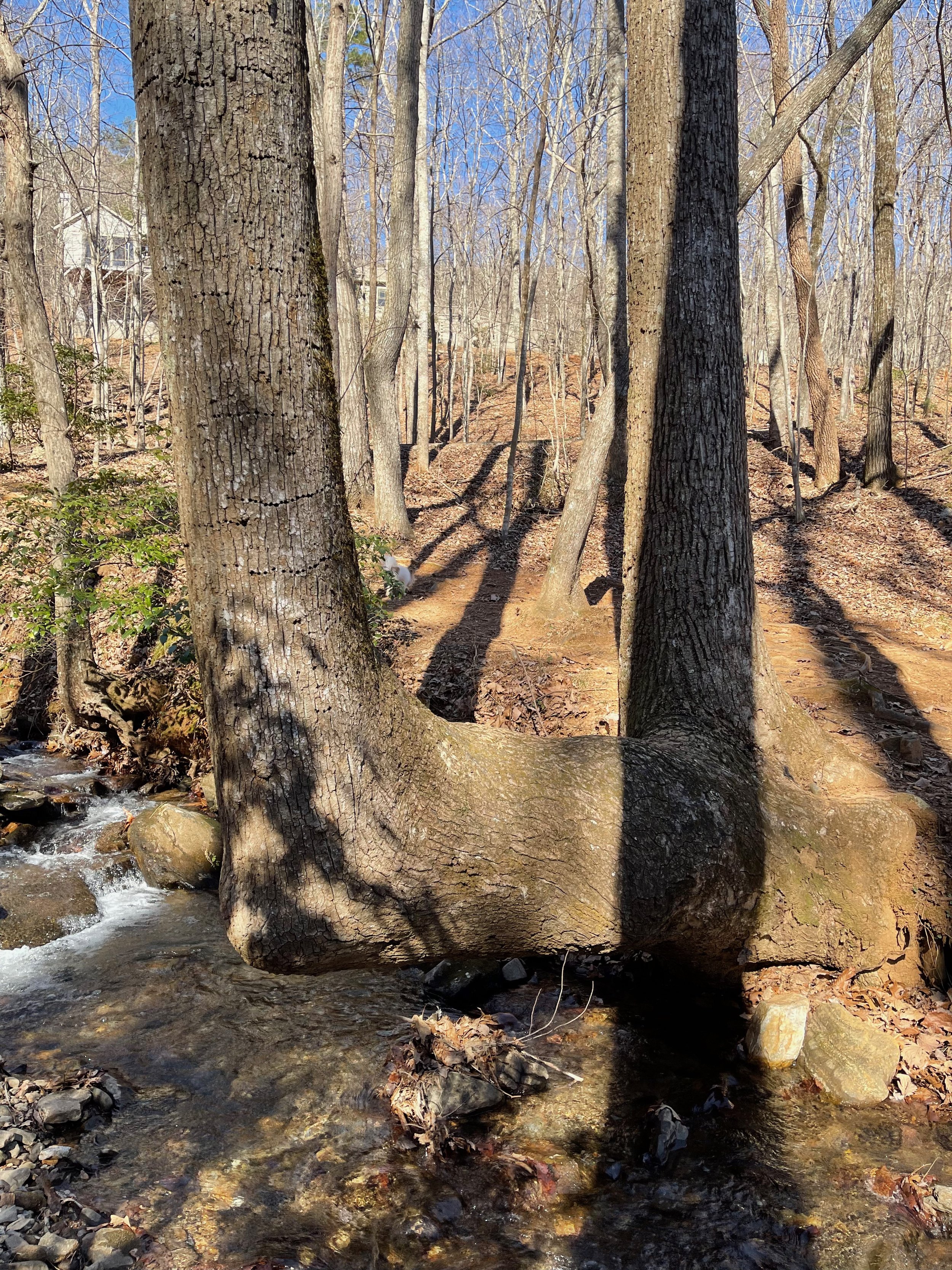
Indian Tree on Nancy Womack Trail, just south of Valley View Drive. Photo by Liz Scherer.
There were some good times too such as the day four bears were spotted coming out of the fog or the story of one trail worker who tied himself off to a tree to keep from falling. Along the way a smaller water fall was identified and the surrounding area was named Ponder Point after the Trail Boss, Larry Ponder, in recognition of his work and dedication to the trails of Big Canoe. And as all trail committee members know, there is a feeling of brotherly camaraderie that is found with each new trail project or each trail workday.
After more than 1 ½ years the trail was complete. The Nancy Womack Trail stretches a total of 1.7 miles from the end of the Upper Falls to a terminating point on Deer Run Ridge Extension across from two large water tanks. The trail ends near the fire exit gate on Monument Road and has a total elevation change of approximately 1,350 feet and changes to a “Cloud Forest” vegetative community which differs from the lower part of the trail. Once on Monument Road, a relatively easy walk will take you to the top of Mt. Oglethorpe and the viewing decks where on a clear day the Atlanta skyline can be seen. Along the way you will pass by the original AT access trail as well as a small park honoring the original Native Indians.
But the story of the trail on Mt. Oglethorpe does not end here. Indeed, like all of the roughly twenty- mile network of trails in Big Canoe, maintenance for the Nancy Womack Trail must occur year-round. Trees and limbs fall, strong rains wash away pieces of the trail. Stone steps must be monitored for security and in the Fall, leaves must be blown aside to make sure the trail is identified. And, of course, as much as possible the poison ivy must be held in check along with any other issues that may occur on the trail. The current Trail Committee “Green Hats” that gladly give of their time and energy to maintain the Nancy Womack Trail are: Clardy Schwartz, Marcel Jacob, Greg Dunlap, Javier Rodriguez (J.R.) and Bob Kenyon. Thank you ever so much to each of these dedicated Trail Committee members who give of their time and energy so that the rest of us can enjoy the God-given beauty of nature.
As you hike the Nancy Womack Trail, please remember to bring water, walking sticks, phone, a snack, and long pants (poison ivy). It’s best to go slow and easy and to stop often and listen. You might hear the wind through the trees or the silence of the day…..exactly the same tranquility and sounds that lured Earl, Nancy, Grandma Gatewood and the Native Indian nations from centuries past to Mt. Oglethorpe. Take a deep breath along your journey and for that moment in your life enjoy……peace.
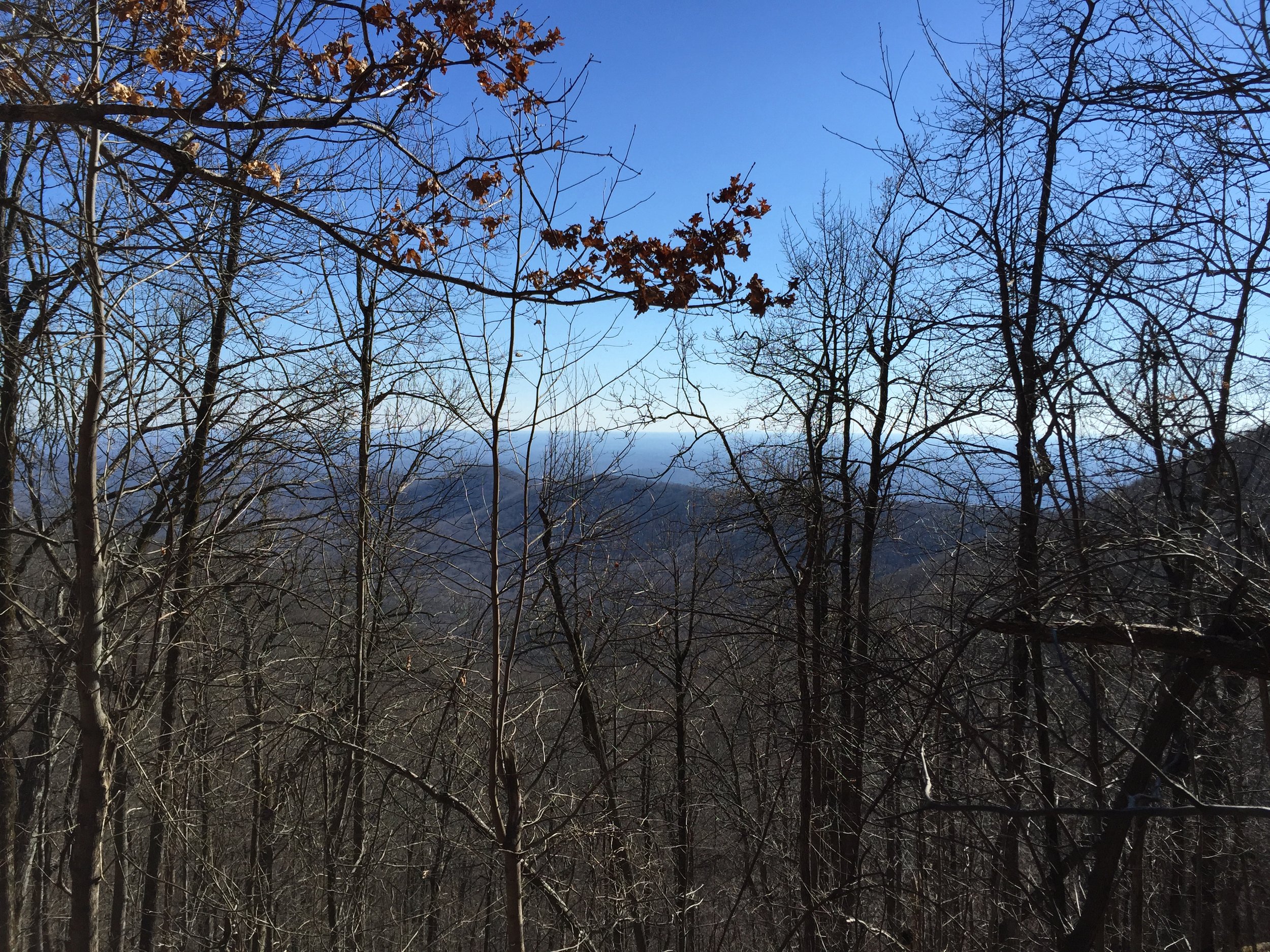
Another view from Mount Oglethorpe. Photo courtesy of the Big Canoe Trails Committee.
Note: A special thanks to those who gave their time and energy toward constructing the Nancy Womack Trail. Although the list is not complete, here are some of the people that we were able to identify that were involved in this massive project: Randy Lewis, Ted Eutermarks, Mike Permenter, Rocky Heller, Terry Funk, Frank Wright, Larry Ponder, Mike Rosen, Mo Captan, Chuck Dressler, John Ross, Bert Loftman, Mike Davis, Nancy Womack, Randy Cheshire, Greg Dunlap and Haynes Johnson.