Trail name changes announcement
In order to remove confusion, the Lake Trail and Lake Petit Trail names will change to Disharoon Trail and Petit Trail respectively starting in 2026.
The Lake Trail Falls also changes name to Hidden Falls.
Big Canoe is host to several beautiful parks, each with its own appeal, unique features, and lovely trails. These trails range from broad paved paths to forest footpaths, meandering among trees, streams, and meadows on the green spaces of Big Canoe. There are about 25 miles of trails so far. There is even a Jeep Trail to enjoy with 4x4 vehicles.
Check out our parks:

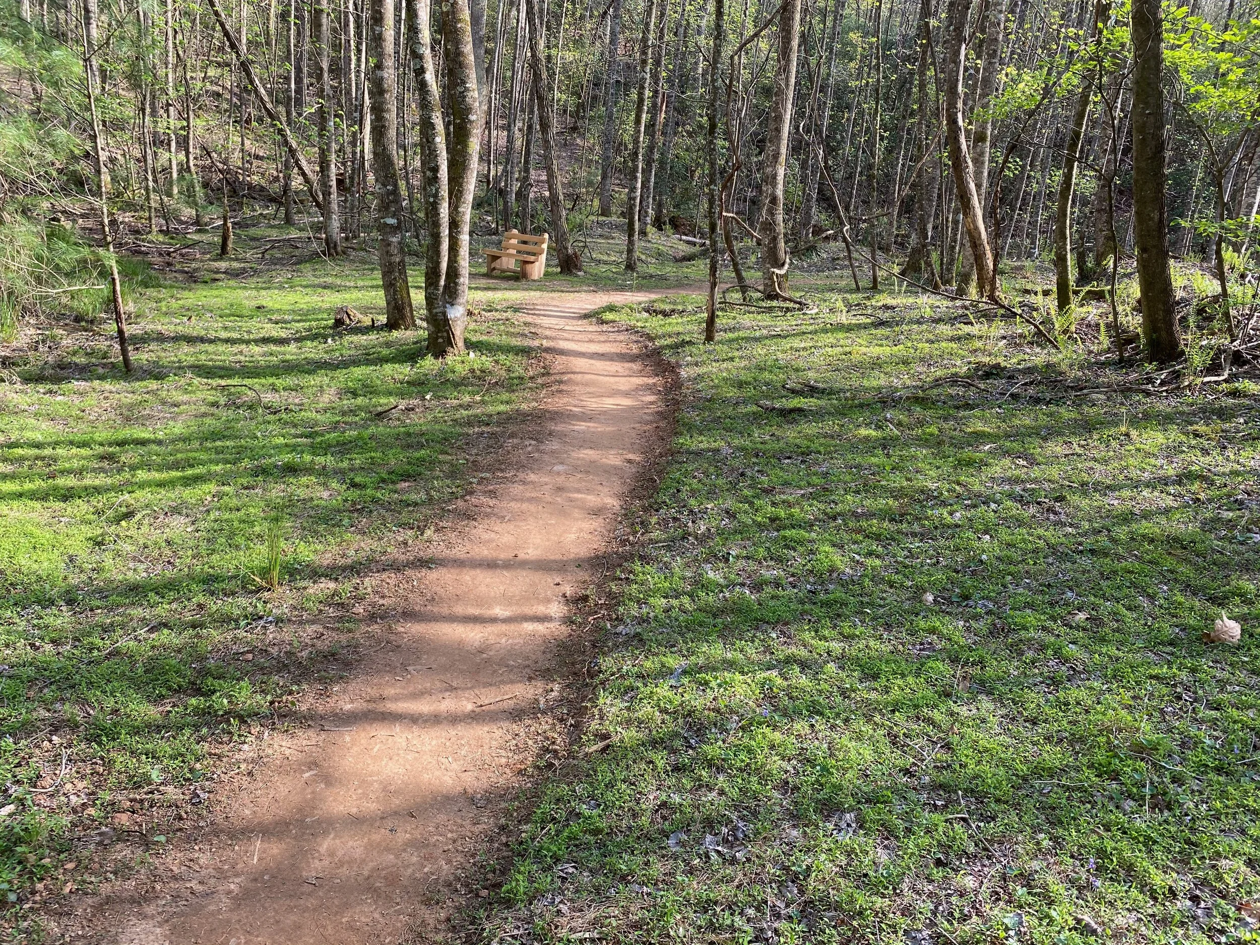
Nature Valley Park
Follows the Disharoon Creek valley from the Wellness Center and Swim Club all the way up to Oglethorpe Mountain.
7.3 miles of trails, including the Jeep Trail, ranging in difficulty from easy to very hard
8 trails, including the short Yellow Root access trail
Playfield Park
Family-friendly grassy playfield with a children’s playground and flat running/walking track.
2 short trails provide access for Petit Crest Villas residents and visitors to the Playfield and Wolfscratch Village.


Wildcat Park
Wide, paved trails with a few woodland neighborhood access trails.
Great for biking, running, and walking with friends, family, and dogs.
4.3 miles of paved paths and 0.9 miles of access paths.
3 dog parks.
Recreation Center with activity/soccer field, basketball court, bocce courts, pavilion and pool, and lots of parking.
Connects to Meadows and High Gap parks.
McDaniel Meadows Park
1.7 miles of easy trails, most are wide gravel paths.
Bird and butterfly sanctuary featuring wetlands and wildflowers.
Great for walking, biking, birding, and taking pictures.
Dog park.
Connects to Wildcat Recreation Area.

High Gap Park
AKA “Joe’s Trails” for Joe Tipton’s spectacular craftsmanship.
3 miles of woodland trails, ranging from easy to hard.
8 trails, including neighborhood access paths.
It features lush forests, wetlands, streams, and small waterfalls.
Connects to Wildcat’s Blue Loop.
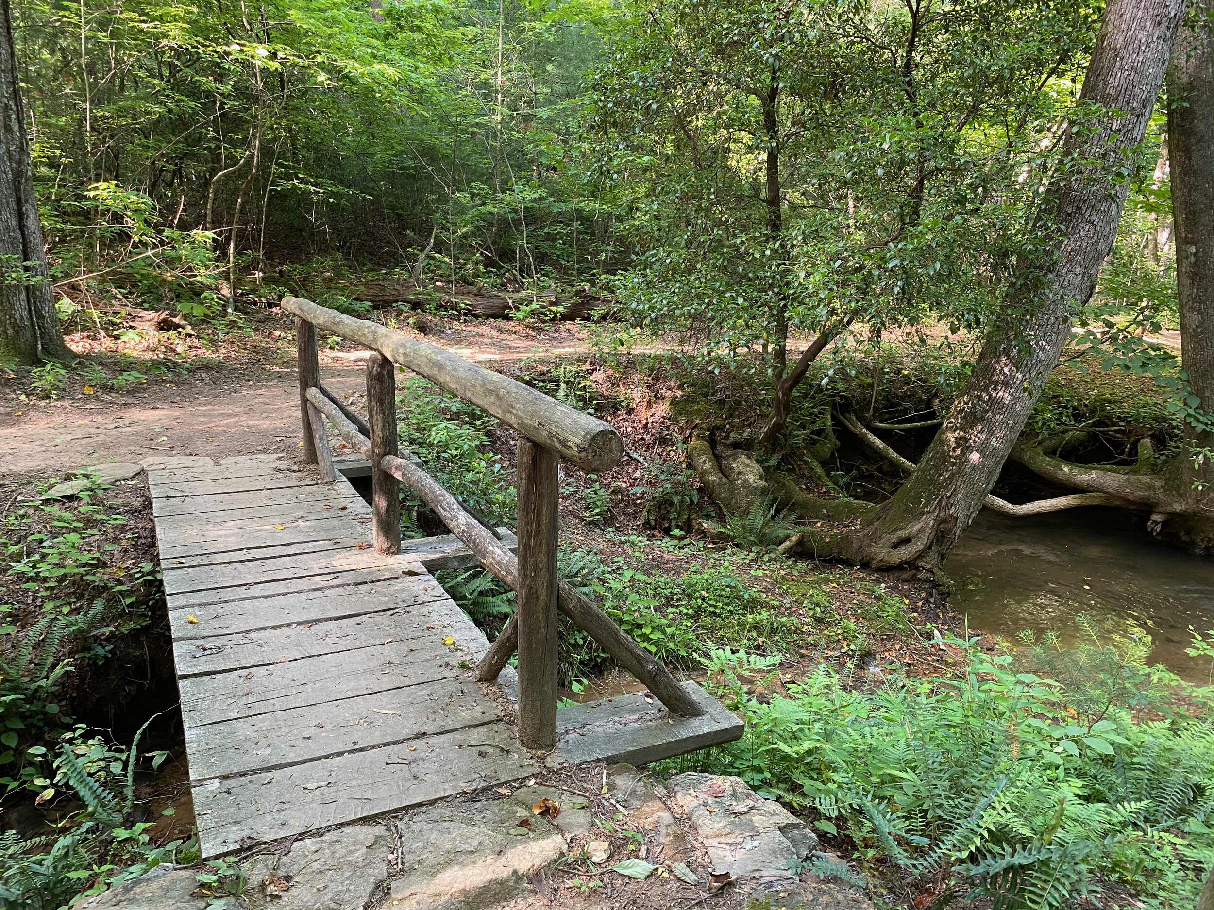
Meditation Park
2.3 miles of woodland trails along streams shrouded in majestic hemlock trees.
4 trails plus one access trail.
Main parking off Steve Tate, just north of the Main Gate next to the amphitheater.
Additional access to trail off Trotters Lane
Terraces, Scout Hut, Cemetery, and a prospector’s log cabin are among the additional features.


Indian Rocks Park
Archeological features of Native American rock cairns known as “Indian mounds”.
0.8 total miles of trail.
3 trails, two on rocky terrain, one along Petit Creek, and one ending at Lake Petit.
Ken & Billie Ann Rice Park
1.3 miles consisting of 2 trails around the lakes and 2 access trails.
Featuring the 2 Waterford lakes, Blackwell Springs and Toad’s Pond. These lakes are spring-fed.
The trails are easy, and the views are beautiful.

Photo: Rita Boje

Choctaw Trail
One trail loops around Choctaw Village, overlooking the Choctaw golf course and Blackwell Creek.
1.3 miles, mostly flat, but has one short but a serious hill.
Beautiful vistas.
The trail is wide and gravel, with an access spur to Choctaw Pass.
Recommended Hikes
Easy
Meadows paths
Wildcat paths
Nature Valley: park at Wilderness, go up the Jeep Trail to the Cabin, take the Cabin Loop Trail and return on the Lower Falls Trail
Nature Valley: park at Wilderness, take Jeep Trail south under the tunnel to the Wildflower Trail, follow it to the end, right on the Disharoon Trail back to Wilderness Pkwy.
High Gap: from the parking lot, take the White Trail to the bridge, cross it, then left on Yellow Trail and immediate left on Blue Trail.
Indian Rocks: from the parking lot, follow Indian Mounds Trail to the end, cross Quail Cove, and continue on the Petit Trail to the lake and back.
Ken & Billie Ann Rice trails
Moderate
High Gap: from the parking lot, take the White, then right at the loop portion, right on the Red Trail, right on the Yellow Trail, follow toward the end and return on the Blue Trail.
Nature Valley: park at the Wellness Center, take the Lake Trail, cross Wilderness, and continue on the Lower Falls Trail to the Lower Falls. Return on the Jeep Trail to the Wildflower, then cross the bridge to the Disharoon Trail and back.
Nature Valley: park at Wilderness, then take the Lower Falls Trail to the Lower Falls, continue on the Upper Falls trail to the Upper Falls and return on the Jeep Trail.
Meditation Park: park at either Trotter’s Lane or by the Terraces on Steve Tate and hike all 4 main trails, connecting the Nature Trail to the Blackwell Creek Trail by walking on the gravel road to the Scout Hut.
Strenuous
Nature Valley: start at the Wellness Center and follow the Disharoon Trail, Lower Falls Trail, Upper Falls Trail, and Nancy Womack Trail to the top of the Deer Run Extension. The way back is a lot easier. You can add to this hike by leaving Big Canoe at the top, taking a left on Monument Road, and continuing a half mile to the Eagle’s Rest Park and hiking their trails.
Meadows/Wildcat/High Gap: park at the Meadows, take the Connector to Wildcat, go around the Perimeter Trail to the Wildcat Connector, go along one side of the Red Loop, then the Blue Loop, take the High Gap Connector, White Trail, then take all rights from there: Red, Yellow, Purple, Yellow, Blue and back to the High Gap Connector to the Blue Loop, Red Loop, Wildcat Connector, Perimeter, Meadows Connector. Not as strenuous as the Nature Valley hike above, but it’s long.
About the Trails Committee
Formed in 1998. The Trails Committee is unusual among other Big Canoe committees in that it is allowed more than the 8-member max for POA committees. In fact, we consist of 50+ members. In the early days, the committee consisted of 8 members but had many unofficial additional volunteers. A few years later, in the early 2000s, Larry Ponder, chair at the time, obtained a special dispensation for this committee to have as many members as needed due to the labor-intensive nature of trail building and maintenance.
The trails and parks are one of our most popular amenities, with many residents citing them as one of the key attractions that brought them to Big Canoe. Trails Committee members are passionate about the trails and enjoy working hard to build, maintain, improve and promote them. The BCTC is currently helmed by Liz Scherer and Mitch Waldman as Co-Chairs. The Co-Chairs report directly to the POA Board and work closely with the General Manager and Director of Operations.
Besides work done directly on the trails, the BCTC created and updates the Trails Brochure and the posters inside the park kiosks. Members also write articles for the POA publications and Smoke Signals and post updates to Facebook. This website was conceived as a one-stop source of information about our trails. It was designed by Liz Scherer.
History of Big Canoe’s Trails
The Big Canoe Trails Committee (BCTC) was formed in 1998 to maintain trails that were built by the original developer (Cousins) and volunteers during the 70s and following decades.
The earliest Park, Nature Valley, had trails that went from the Village up to the Nancy Womack Falls. The falls were named in honor of a very dedicated volunteer who passed away shortly after the trail was built to the falls sometime in the 90s. The BCTC extended the Nancy Womack Trail up to the top of the Deer Run Extension in the 2010s, a very difficult endeavor due to the steepness of the terrain.
Indian Rocks trails were also built before the Committee came into existence. The trails were created to showcase the Indian mounds, which are stone cairns built by the Cherokee who lived on this land. The Trails Committee later added the Petit Trail as a continuation to the Indian Mounds trails all the way to Lake Petit.
In the early 2000s, Big Canoe Company developed the Wildcat Parkway area and also created paved paths in Wildcat. The McDaniel Meadows was also an addition to the community to create a wildlife sanctuary that would heavily feature birds. Shortly after the Developer (Byrne) created the Wildcat paths, he envisioned the formation of named parks with clearly defined boundaries and entries.
In the mid-2000s, the Chapel had a concept of a Meditation Park, with trails and benches alongside the beautiful Blackwell Creek. There already was a trail built by someone else as a botanical preserve. The BCTC added the remaining trails, Blackwell Creek Trail, Covered Bridge Trail, and John Williams Trail, in the early to mid-2000s.
The High Gap Park and connector trails were created in 2019 – 2020 by BCTC member Joe Tipton. Joe built the trails of this park by himself. The connector to the trails had involvement from BCTC members.